Weedons Suburbs & Region, Weedons Map & Postcodes in Weedons, Selwyn, Canterbury

Weedons Postcodes, Weedons ZipCodes, Weedons , Weedons Canterbury, Weedons Suburbs, Weedons Region, Weedons Map, Weedons Area

Weedons Region (Sandy Knolls, Weedons Region)

  • Weedons Suburbs

    Weedons is a suburb place type in Selwyn, Canterbury, NZ. It contains 0 suburbs or localities.
  • Weedons district

    Selwyn
  • Weedons Region Map

    Weedons, Canterbury Region Map
  • Weedons Introduction

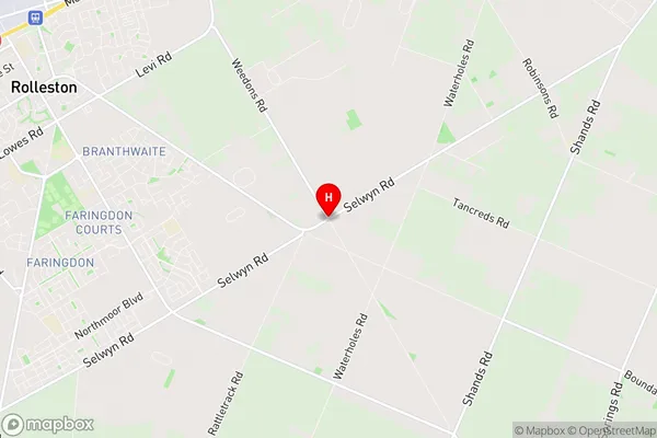
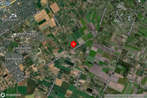
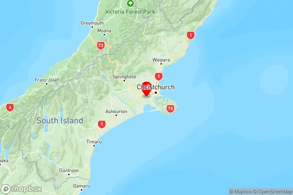
    Weedons is a small rural community in Canterbury, New Zealand, located in the Ashburton District. It is known for its picturesque rural setting, with rolling hills, farmland, and picturesque rivers. The community has a population of around 500 people and is home to a variety of businesses, including a supermarket, a post office, and a tavern. Weedons is also home to a number of historic buildings, including the Weedons Hotel, which was built in the 1880s. The community is surrounded by beautiful natural scenery, including the Mount Grey Conservation Park and the Rakaia River.
  • Weedons Region

  • Weedons Satellite Map

    Weedons, Canterbury Satellite Map
  • Full Address

    Weedons, Selwyn, Canterbury
  • Weedons Coordinates

    -43.6116119,172.4296262 (Latitude / Longitude)
  • Weedons Map in NZ

    Weedons, Canterbury Region Map
  • NZ Island

    South Island
  • Weedons Area Map (Polygon)

    Rolleston, Canterbury Polygon Area Map
  • Name

    Rolleston
  • Additional Name

    Sandy Knolls, Weedons
  • Local Authority

    Selwyn District

Weedons Suburbs (Sort by Population)

Rolleston also known as Sandy Knolls, Weedons. Rolleston suburb has around 112.4 square kilometers.There are more than 30781 people (estimated) live in Rolleston, , Canterbury, New Zealand.

Weedons Suburbs (Sort in alphabetical)