Glentunnel Suburbs & Region, Glentunnel Map & Postcodes in Glentunnel, Selwyn, Canterbury
Glentunnel Postcodes, Glentunnel ZipCodes, Glentunnel , Glentunnel Canterbury, Glentunnel Suburbs, Glentunnel Region, Glentunnel Map, Glentunnel Area
Glentunnel Region (Glenroy, Malvern Hills, South Malvern Region)
Glentunnel Suburbs
Glentunnel is a suburb place type in Selwyn, Canterbury, NZ. It contains 2 suburbs or localities.Glentunnel district
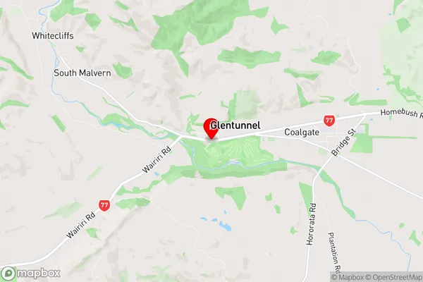
SelwynGlentunnel Region Map
Glentunnel Introduction
Glentunnel is a 5.3-kilometer-long (3.3 mi) single-track rail tunnel in the South Island of New Zealand, connecting the town of Kaikoura with the coastal town of Christchurch. It is the longest and deepest single-track rail tunnel in the Southern Hemisphere and was opened in 1995. The tunnel is part of the New Zealand Railways Network and is used by both passenger and freight trains. It has a maximum speed limit of 120 km/h (75 mph) and is equipped with safety systems such as emergency brakes and ventilation. The tunnel has also been used as a filming location for several movies and TV shows, including The Hobbit and The Lord of the Rings.Glentunnel Region
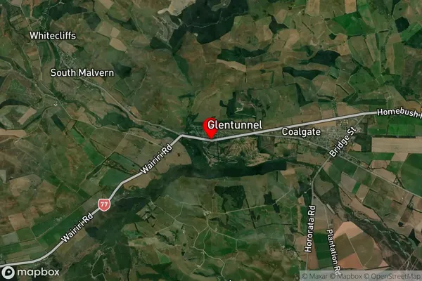
Glentunnel Satellite Map
Full Address
Glentunnel, Selwyn, CanterburyGlentunnel Coordinates
-43.4816496,171.9341708 (Latitude / Longitude)Glentunnel Map in NZ
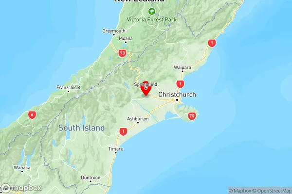
NZ Island
South IslandCountry
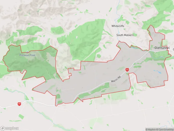
Glentunnel Area Map (Polygon)
Name
GlentunnelAdditional Name
Glenroy, Malvern Hills, South MalvernLocal Authority
Selwyn District
Glentunnel Suburbs (Sort by Population)
Glentunnel
Glentunnel - 278Whitecliffs
Whitecliffs - 273