Whitecliffs Area, Whitecliffs Postcode(7673) & Map in Whitecliffs
Whitecliffs Area, Whitecliffs Postcode(7673) & Map in Whitecliffs, Selwyn District, New Zealand
Whitecliffs, Selwyn District, New Zealand
Whitecliffs Postcodes
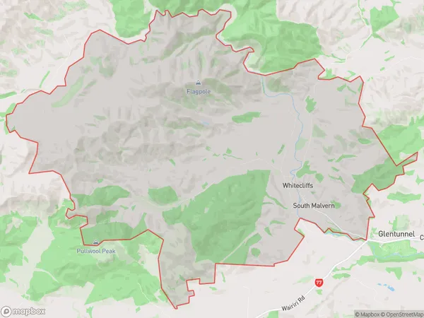
Whitecliffs Area (estimated)
105.1 square kilometersWhitecliffs Population (estimated)
273 people live in Whitecliffs, Canterbury, NZWhitecliffs Suburb Area Map (Polygon)

Whitecliffs Introduction
The Whitecliffs is a 15-meter-high limestone cliff located in Glentunnel, Canterbury, New Zealand. It is a popular tourist attraction and a popular filming location for movies and TV shows, including "The Hobbit" and "The Lord of the Rings." The cliff is accessible by a walking track and offers stunning views of the surrounding area.Region
0Suburb Name
WhitecliffsOther Name(s)
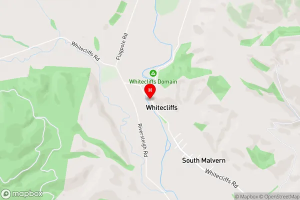
South MalvernWhitecliffs Area Map (Street)

Local Authority
Selwyn DistrictFull Address
Whitecliffs, Selwyn District, New ZealandAddress Type
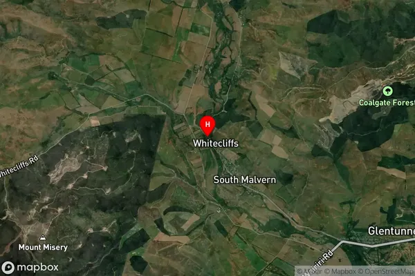
Locality in Major Locality GlentunnelWhitecliffs Suburb Map (Satellite)

Country
Main Region in AU
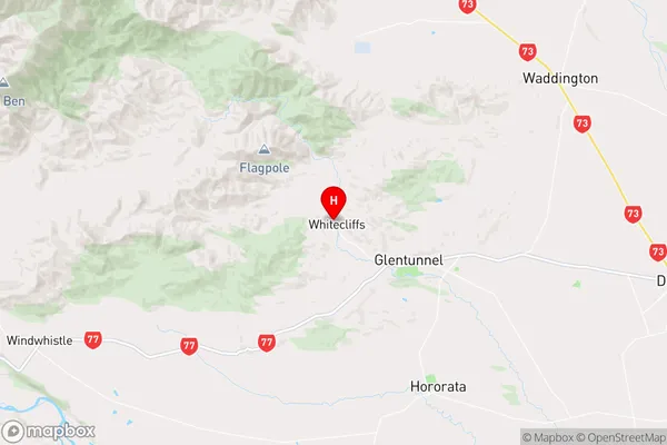
CanterburyWhitecliffs Region Map

Coordinates
-43.4620857,171.8934907 (latitude/longitude)Distances
The distance from Whitecliffs, Glentunnel, Selwyn District to NZ Top 10 Cities