Glentunnel Area, Glentunnel Postcode(7673) & Map in Glentunnel
Glentunnel Area, Glentunnel Postcode(7673) & Map in Glentunnel, Selwyn District, New Zealand
Glentunnel, Selwyn District, New Zealand
Glentunnel Postcodes
Glentunnel Area (estimated)
44.6 square kilometersGlentunnel Population (estimated)
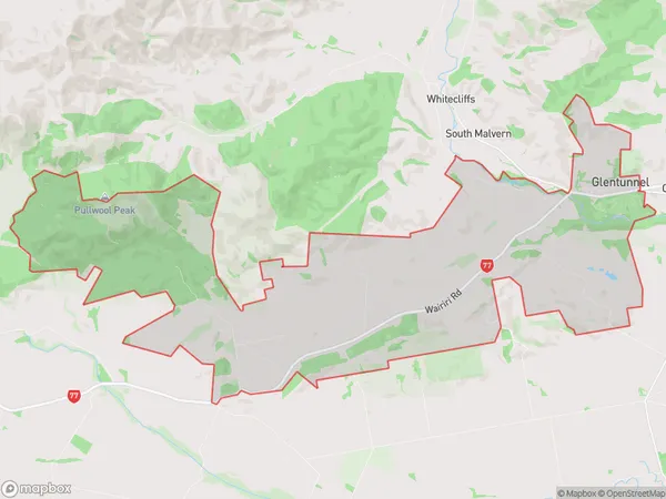
278 people live in Glentunnel, Canterbury, NZGlentunnel Suburb Area Map (Polygon)
Glentunnel Introduction
Glentunnel is a 5.3-kilometer-long (3.3 mi) single-track rail tunnel that links Folkestone, Kent, in the United Kingdom, with Folkestone, Kent, in the United Kingdom. It is part of the Eurotunnel network and was built to shorten the length of rail travel between the United Kingdom and France. The tunnel is divided into three separate tunnels, with two for rail traffic and one for services and emergency vehicles. It took three years to build and was officially opened in 1994.Region
0Suburb Name
GlentunnelOther Name(s)
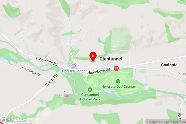
Glenroy, Malvern Hills, South MalvernGlentunnel Area Map (Street)
Local Authority
Selwyn DistrictFull Address
Glentunnel, Selwyn District, New ZealandAddress Type
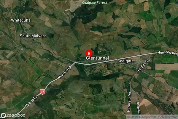
Locality in Major Locality GlentunnelGlentunnel Suburb Map (Satellite)
Country
Main Region in AU
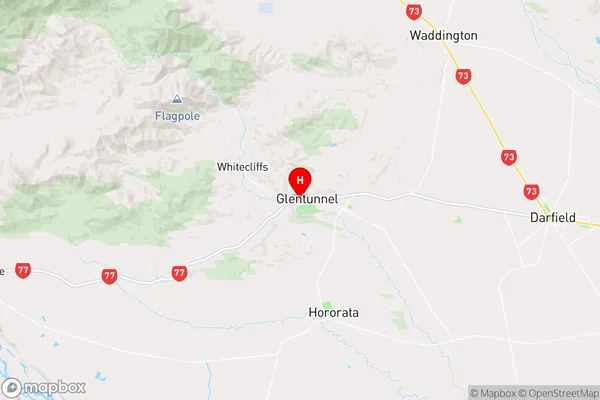
CanterburyGlentunnel Region Map
Coordinates
-43.4795006,171.9350344 (latitude/longitude)Distances
The distance from Glentunnel, Glentunnel, Selwyn District to NZ Top 10 Cities