Prebbleton Suburbs & Region, Prebbleton Map & Postcodes in Prebbleton, Selwyn, Canterbury
Prebbleton Postcodes, Prebbleton ZipCodes, Prebbleton , Prebbleton Canterbury, Prebbleton Suburbs, Prebbleton Region, Prebbleton Map, Prebbleton Area
Prebbleton Region (Broadfield, Ladbrooks, Taitapu Region)
Prebbleton Suburbs
Prebbleton is a city place type in Selwyn, Canterbury, NZ. It contains 0 suburbs or localities.Prebbleton district
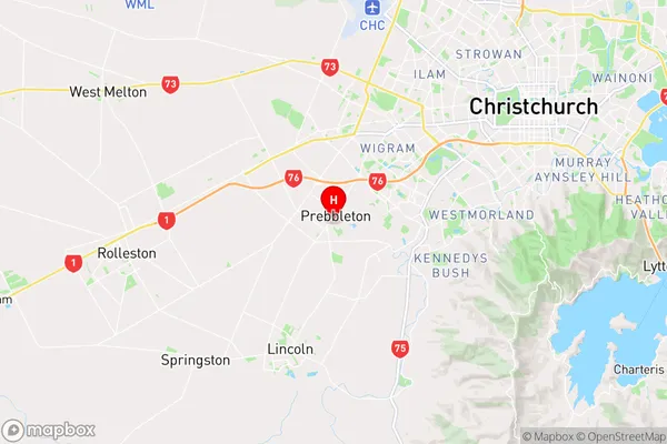
SelwynPrebbleton Region Map
Prebbleton Introduction
Prebbleton is a small town located in the Canterbury region of New Zealand, approximately 35 kilometers south of Christchurch. It is known for its picturesque rural setting, with rolling hills, farms, and picturesque gardens. The town has a population of around 3,500 people and is home to a variety of shops, cafes, and recreational facilities, including a golf course and a swimming pool. Prebbleton also has a strong community spirit, with a variety of clubs and organizations catering to different interests and age groups. The town is well-connected to other parts of the country, with a rail station and a motorway junction nearby.Prebbleton Region
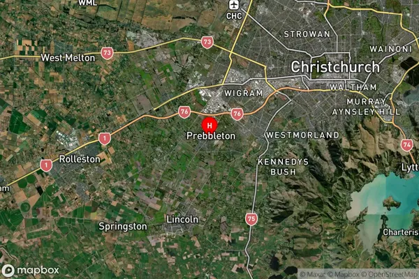
Prebbleton Satellite Map
Full Address
Prebbleton, Selwyn, CanterburyPrebbleton Coordinates
-43.582751,172.512786 (Latitude / Longitude)Prebbleton Map in NZ
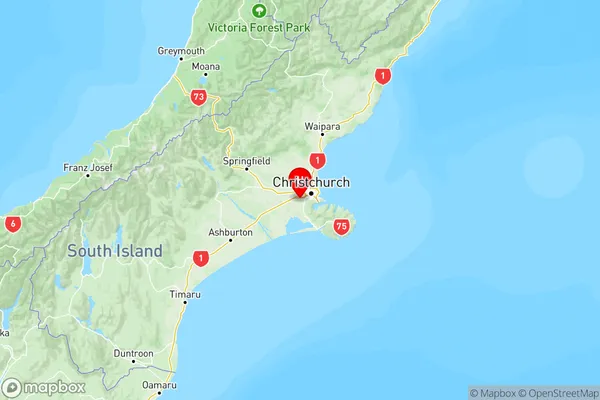
NZ Island
South IslandCountry
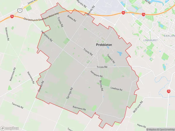
Prebbleton Area Map (Polygon)
Name
PrebbletonAdditional Name
Broadfield, Ladbrooks, TaitapuLocal Authority
Selwyn District
Prebbleton Suburbs (Sort by Population)
Prebbleton also known as Broadfield, Ladbrooks, Taitapu. Prebbleton suburb has around
32.5 square
kilometers.There are more than 6517 people (estimated)
live in Prebbleton, Prebbleton, Canterbury, New Zealand.