Prebbleton Area, Prebbleton Postcode(7604) & Map in Prebbleton
Prebbleton Area, Prebbleton Postcode(7604) & Map in Prebbleton, Selwyn District, New Zealand
Prebbleton, Selwyn District, New Zealand
Prebbleton Area (estimated)
32.5 square kilometersPrebbleton Population (estimated)
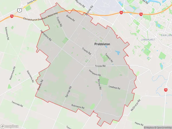
6517 people live in Prebbleton, Canterbury, NZPrebbleton Suburb Area Map (Polygon)
Prebbleton Introduction
Prebbleton is a small town in Canterbury, New Zealand, located 15 km south of Christchurch. It is known for its green spaces, including the Prebbleton Park Golf Course and the Prebbleton War Memorial Park. The town has a population of around 10,000 and is home to a variety of shops and businesses. It is also a popular destination for outdoor activities, such as hiking, cycling, and fishing.Region
Major City
Suburb Name
PrebbletonOther Name(s)
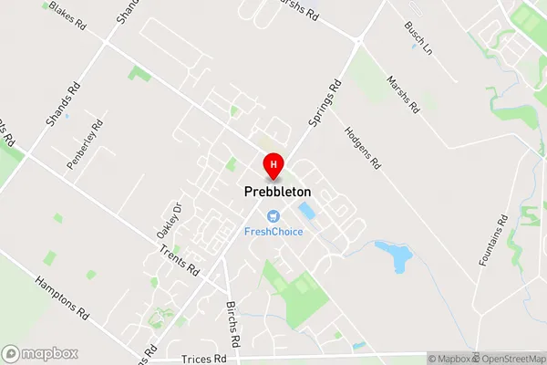
Broadfield, Ladbrooks, TaitapuPrebbleton Area Map (Street)
Local Authority
Selwyn DistrictFull Address
Prebbleton, Selwyn District, New ZealandAddress Type
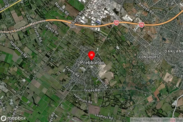
Suburb in Town PrebbletonPrebbleton Suburb Map (Satellite)
Country
Main Region in AU
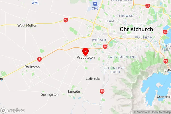
CanterburyPrebbleton Region Map
Coordinates
-43.57944,172.51375 (latitude/longitude)Distances
The distance from Prebbleton, Prebbleton, Selwyn District to NZ Top 10 Cities