Windwhistle Suburbs & Region, Windwhistle Map & Postcodes in Windwhistle, Selwyn, Canterbury
Windwhistle Postcodes, Windwhistle ZipCodes, Windwhistle , Windwhistle Canterbury, Windwhistle Suburbs, Windwhistle Region, Windwhistle Map, Windwhistle Area
Windwhistle Region (Malvern Hills Region)
Windwhistle Suburbs
Windwhistle is a suburb place type in Selwyn, Canterbury, NZ. It contains 0 suburbs or localities.Windwhistle district
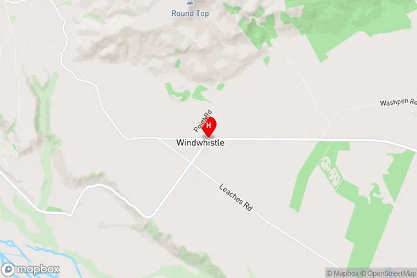
SelwynWindwhistle Region Map
Windwhistle Introduction
Windwhistle is a small rural community in Canterbury, New Zealand, located in the Ashburton District. It is situated on the banks of the Rakaia River, approximately 10 kilometers south of Ashburton town. The community has a population of around 50 people and is known for its scenic rural setting and peaceful atmosphere. Windwhistle is surrounded by farmland and has a variety of recreational facilities, including a golf course, a tennis court, and a bowling club. The area is also popular with outdoor enthusiasts, with many walking and hiking trails nearby. The nearest major town is Timaru, which is approximately 30 kilometers away.Windwhistle Region
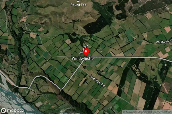
Windwhistle Satellite Map
Full Address
Windwhistle, Selwyn, CanterburyWindwhistle Coordinates
-43.5143143,171.7139595 (Latitude / Longitude)Windwhistle Map in NZ
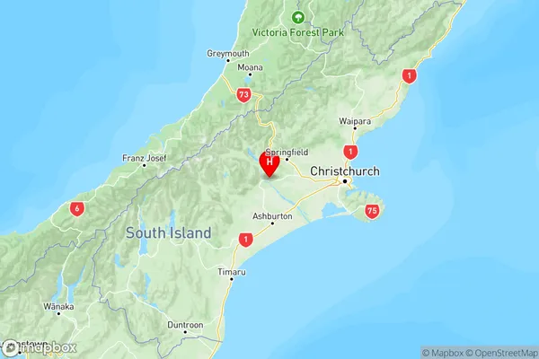
NZ Island
South IslandCountry
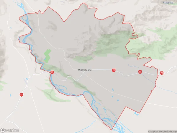
Windwhistle Area Map (Polygon)
Name
WindwhistleAdditional Name
Malvern HillsLocal Authority
Selwyn District
Windwhistle Suburbs (Sort by Population)
Windwhistle also known as Malvern Hills. Windwhistle suburb has around
210.4 square
kilometers.There are more than 230 people (estimated)
live in Windwhistle, , Canterbury, New Zealand.