Windwhistle Area, Windwhistle Postcode & Map in Windwhistle
Windwhistle Area, Windwhistle Postcode & Map in Windwhistle, Selwyn District, New Zealand
Windwhistle, Selwyn District, New Zealand
Windwhistle Area (estimated)
210.4 square kilometersWindwhistle Population (estimated)
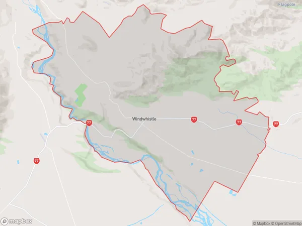
230 people live in Windwhistle, Canterbury, NZWindwhistle Suburb Area Map (Polygon)
Windwhistle Introduction
Windwhistle is a small rural community in Hororata, Canterbury, New Zealand. It is located on State Highway 75, approximately 25 kilometers south of Christchurch. The community has a post office, a school, a church, and a few small businesses. The area is known for its scenic rural landscapes and its agricultural pursuits, including sheep farming and horticulture. Windwhistle is also home to a number of historic buildings, including the Windwhistle Hotel, which was built in the 1880s.Region
0Suburb Name
WindwhistleOther Name(s)
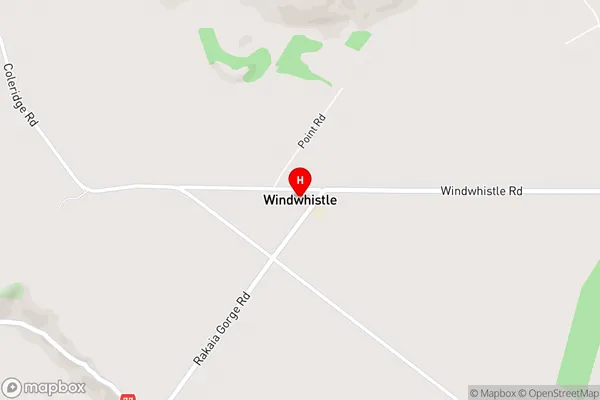
Malvern HillsWindwhistle Area Map (Street)
Local Authority
Selwyn DistrictFull Address
Windwhistle, Selwyn District, New ZealandAddress Type
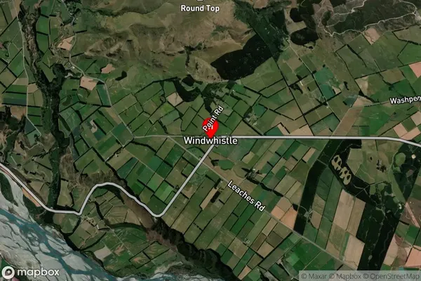
Locality in Town HororataWindwhistle Suburb Map (Satellite)
Country
Main Region in AU
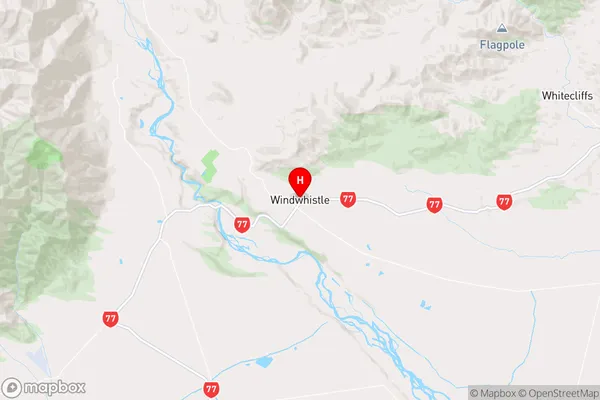
CanterburyWindwhistle Region Map
Coordinates
-43.5149557,171.7119501 (latitude/longitude)Distances
The distance from Windwhistle, Hororata, Selwyn District to NZ Top 10 Cities