Lansdowne Suburbs & Region, Lansdowne Map & Postcodes in Lansdowne, Selwyn, Canterbury
Lansdowne Postcodes, Lansdowne ZipCodes, Lansdowne , Lansdowne Canterbury, Lansdowne Suburbs, Lansdowne Region, Lansdowne Map, Lansdowne Area
Lansdowne Region
Lansdowne Suburbs
Lansdowne is a suburb place type in Selwyn, Canterbury, NZ. It contains 1 suburbs or localities.Lansdowne Postcodes
Lansdowne district
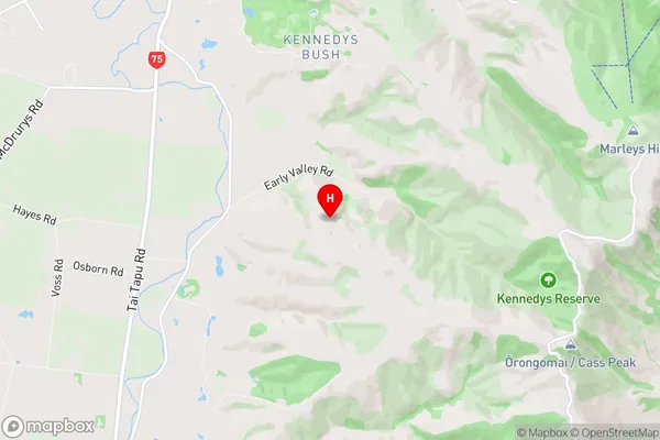
SelwynLansdowne Region Map
Lansdowne Introduction
Lansdowne is a suburb of Christchurch, New Zealand, located in the eastern suburbs of the city. It is known for its historic homes and gardens, including the Lansdowne House, which is a former state residence. The suburb is also home to a variety of shops, restaurants, and recreational facilities, including the Lansdowne Park Golf Course. Lansdowne is well-connected to the rest of Christchurch via public transport, and is located within easy driving distance of the city's central business district.Lansdowne Region
Lansdowne City
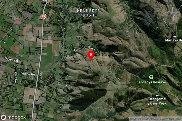
Lansdowne Satellite Map
Full Address
Lansdowne, Selwyn, CanterburyLansdowne Coordinates
-43.621836,172.586469 (Latitude / Longitude)Lansdowne Map in NZ
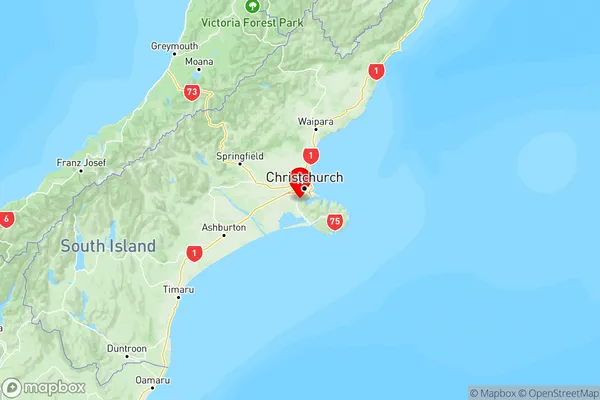
NZ Island
South IslandCountry
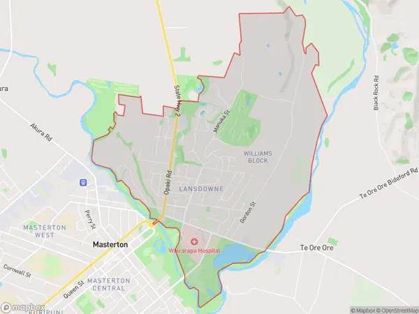
Lansdowne Area Map (Polygon)
Name
LansdowneAdditional Name
Local Authority
Masterton District
Lansdowne Suburbs (Sort by Population)
Lansdowne
Lansdowne - 99