Lansdowne Area, Lansdowne Postcode(7271) & Map in Lansdowne, Christchurch City
Lansdowne Area, Lansdowne Postcode(7271) & Map in Lansdowne, Christchurch City, Selwyn District, New Zealand
Lansdowne, Christchurch City, Selwyn District, New Zealand
Lansdowne Postcodes
Lansdowne Area (estimated)
7.7 square kilometersLansdowne Population (estimated)
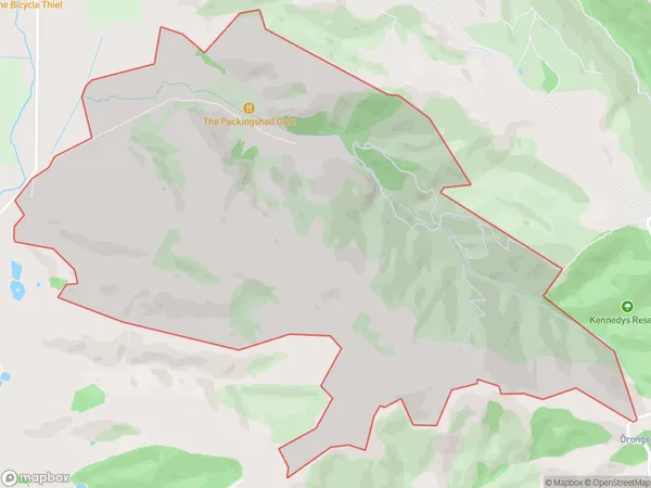
99 people live in Lansdowne, Marlborough, NZLansdowne Suburb Area Map (Polygon)
Lansdowne Introduction
Lansdowne is a small rural community in Marlborough, New Zealand. It is located on State Highway 1, between Blenheim and Renwick. The area is known for its scenic views, vineyards, and olive groves. Lansdowne has a primary school, a post office, and a small supermarket. The community is surrounded by beautiful countryside and is a popular destination for outdoor activities such as hiking, cycling, and fishing.Region
Major City
Suburb Name
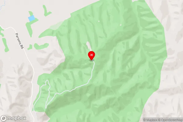
LansdowneLansdowne Area Map (Street)
Local Authority
Christchurch City, Selwyn DistrictFull Address
Lansdowne, Christchurch City, Selwyn District, New ZealandAddress Type
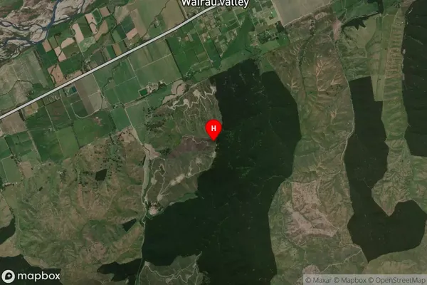
Suburb in Major Locality LansdowneLansdowne Suburb Map (Satellite)
Country
Main Region in AU
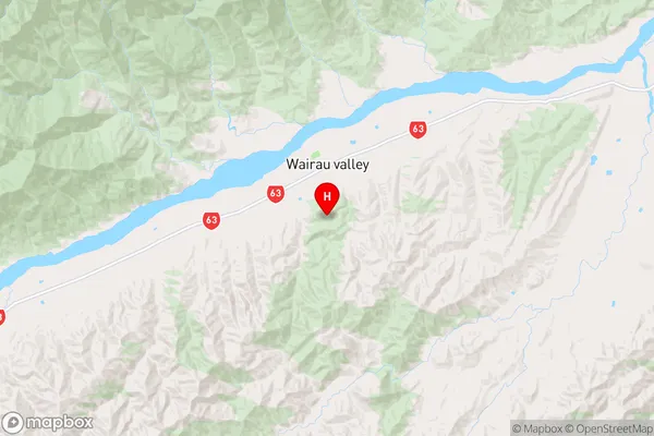
MarlboroughLansdowne Region Map
Coordinates
-41.588937,173.531048 (latitude/longitude)Distances
The distance from Lansdowne, Lansdowne, Christchurch City, Selwyn District to NZ Top 10 Cities