Springston Suburbs & Region, Springston Map & Postcodes in Springston, Selwyn, Canterbury
Springston Postcodes, Springston ZipCodes, Springston , Springston Canterbury, Springston Suburbs, Springston Region, Springston Map, Springston Area
Springston Region (Ellesmere, Goulds Road, Lower Selwyn Huts, Selwyn Huts, Springston South Region)
Springston Suburbs
Springston is a city place type in Selwyn, Canterbury, NZ. It contains 1 suburbs or localities.Springston Postcodes
Springston district
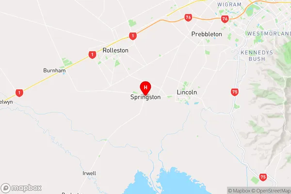
SelwynSpringston Region Map
Springston Introduction
Springston is a suburb of Christchurch, New Zealand, located in the eastern suburbs of the city. It is known for its suburban character, with a mix of residential and commercial areas. The suburb has a population of around 30,000 people and is home to a variety of amenities, including a shopping center, a library, and a hospital. Springston is also well-connected to the rest of Christchurch, with easy access to the city's central business district and public transport.Springston Region
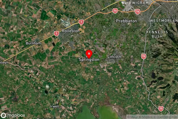
Springston Satellite Map
Full Address
Springston, Selwyn, CanterburySpringston Coordinates
-43.64455,172.427563 (Latitude / Longitude)Springston Map in NZ
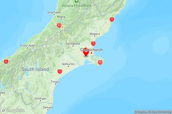
NZ Island
South IslandCountry
Springston Area Map (Polygon)
Not available for nowName
SpringstonAdditional Name
Ellesmere, Goulds Road, Lower Selwyn Huts, Selwyn Huts, Springston SouthLocal Authority
Selwyn District
Springston Suburbs (Sort by Population)
Springston
Springston - 1814