Springston Area, Springston Postcode(7616) & Map in Springston
Springston Area, Springston Postcode(7616) & Map in Springston, Selwyn District, New Zealand
Springston, Selwyn District, New Zealand
Springston Postcodes
Springston Area (estimated)
-1.2 square kilometersSpringston Population (estimated)
1814 people live in Springston, Canterbury, NZSpringston Suburb Area Map (Polygon)
Not available for nowSpringston Introduction
Springston is a suburb of Christchurch, New Zealand, located in the eastern suburbs of the city. It is known for its historic homes and gardens, and for being the birthplace of New Zealand's first Prime Minister, William Fox. The suburb has a population of around 3,500 people and is located close to the city's airport and central business district.Region
Major City
Suburb Name
SpringstonOther Name(s)
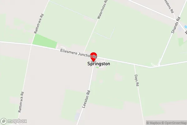
Ellesmere, Goulds Road, Lower Selwyn Huts, Selwyn Huts, Springston SouthSpringston Area Map (Street)
Local Authority
Selwyn DistrictFull Address
Springston, Selwyn District, New ZealandAddress Type
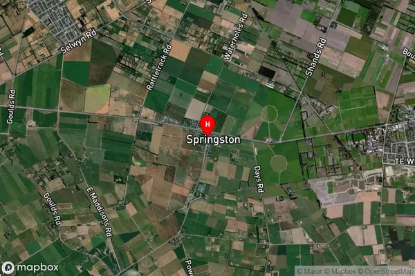
Suburb in Town SpringstonSpringston Suburb Map (Satellite)
Country
Main Region in AU
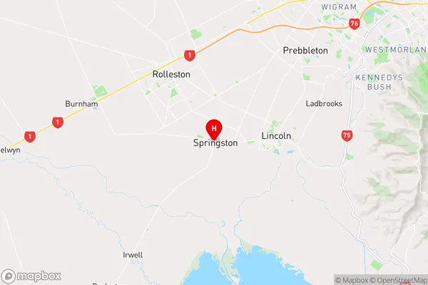
CanterburySpringston Region Map
Coordinates
-43.64432,172.42613 (latitude/longitude)Distances
The distance from Springston, Springston, Selwyn District to NZ Top 10 Cities