West Melton Suburbs & Region, West Melton Map & Postcodes in West Melton, Selwyn, Canterbury
West Melton Postcodes, West Melton ZipCodes, West Melton , West Melton Canterbury, West Melton Suburbs, West Melton Region, West Melton Map, West Melton Area
West Melton Region (Halkett Region)
West Melton Suburbs
West Melton is a suburb place type in Selwyn, Canterbury, NZ. It contains 1 suburbs or localities.West Melton Postcodes
West Melton district
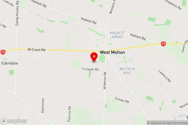
SelwynWest Melton Region Map
West Melton Introduction
West Melton is a small town in Canterbury, New Zealand, located in the West Melton District of the Canterbury Province. It is situated 12 kilometers west of the city of Christchurch and 55 kilometers south of the international airport. West Melton is known for its agricultural industry, with a number of farms and vineyards in the area. The town also has a primary school, a post office, a supermarket, and a variety of recreational facilities, including a golf course and a swimming pool.West Melton Region
West Melton City
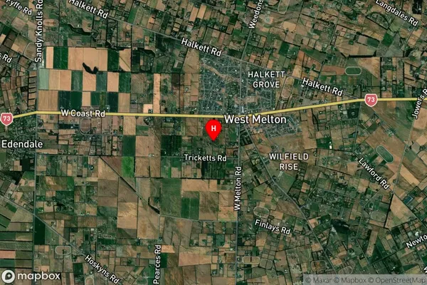
West Melton Satellite Map
Full Address
West Melton, Selwyn, CanterburyWest Melton Coordinates
-43.528498,172.363508 (Latitude / Longitude)West Melton Map in NZ
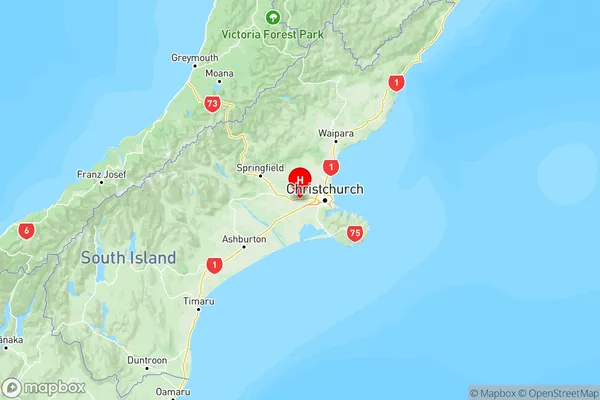
NZ Island
South IslandCountry
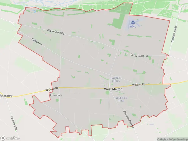
West Melton Area Map (Polygon)
Name
West MeltonAdditional Name
HalkettLocal Authority
Selwyn District
West Melton Suburbs (Sort by Population)
West Melton
West Melton - 5495