West Melton Area, West Melton Postcode(7618) & Map in West Melton
West Melton Area, West Melton Postcode(7618) & Map in West Melton, Selwyn District, New Zealand
West Melton, Selwyn District, New Zealand
West Melton Area (estimated)
111.2 square kilometersWest Melton Population (estimated)
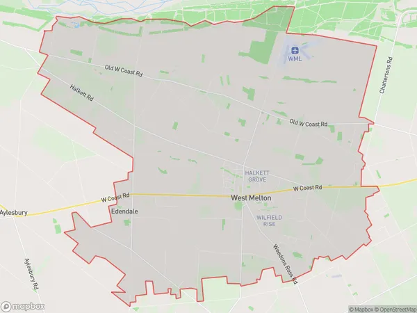
5495 people live in West Melton, Canterbury, NZWest Melton Suburb Area Map (Polygon)
West Melton Introduction
West Melton is a small town in Canterbury, New Zealand, located 15 kilometers west of Christchurch. It is known for its fertile soil and historic buildings, including the West Melton railway station, which is listed as a "Category I" historic place by the Heritage New Zealand. The town has a population of around 3,000 people and is surrounded by picturesque farmland and the Southern Alps.Region
Major City
Suburb Name
West MeltonOther Name(s)
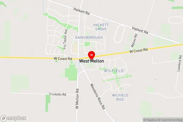
HalkettWest Melton Area Map (Street)
Local Authority
Selwyn DistrictFull Address
West Melton, Selwyn District, New ZealandAddress Type
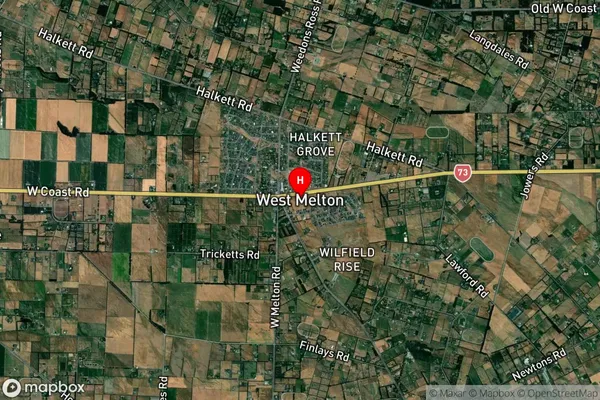
Locality in Town West MeltonWest Melton Suburb Map (Satellite)
Country
Main Region in AU
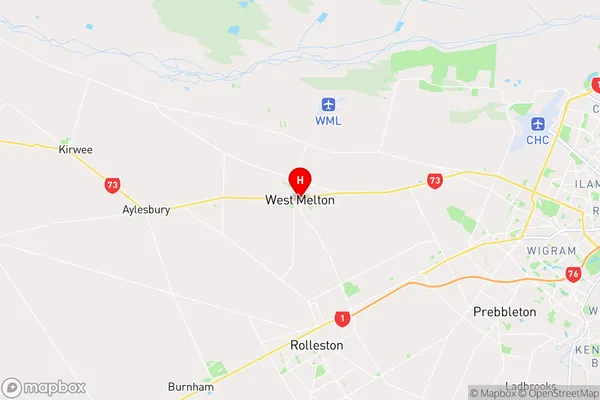
CanterburyWest Melton Region Map
Coordinates
-43.5244331,172.3735742 (latitude/longitude)Distances
The distance from West Melton, West Melton, Selwyn District to NZ Top 10 Cities