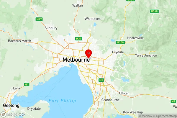
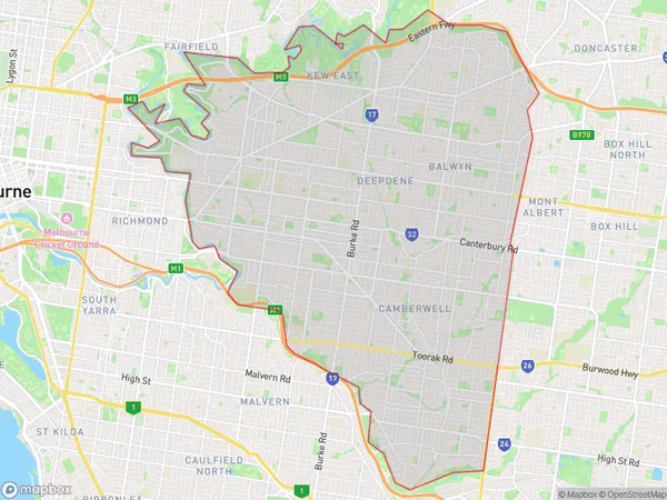
Boroondara Suburbs & Region, Boroondara Map & Postcodes
Boroondara Suburbs & Region, Boroondara Map & Postcodes in Boroondara, Melbourne Inner East, VIC, AU
Boroondara Region
Region Name
Boroondara (VIC, AU)Boroondara Area
60.02 square kilometers (60.02 ㎢)Postal Codes
from 3101 to 3103, 3123, 3124, 3126, and 3142 (In total, there are 7 postcodes in Boroondara.)Boroondara Introduction
Boroondara is a suburb of Melbourne, located in the state of Victoria, Australia. It is in the local government area of the City of Boroondara and is 10 kilometers east of Melbourne's central business district. Boroondara is known for its leafy streets, parks, and high-quality housing. It has a diverse population and is home to many international students and professionals. The suburb has a number of shopping centers, including the Eastland Shopping Centre and Chadstone Shopping Centre, as well as a variety of restaurants and cafes. Boroondara also has a number of cultural institutions, including the National Gallery of Victoria and the Australian Ballet.Australia State
City or Big Region
District or Regional Area
Boroondara Region Map

Boroondara Postcodes / Zip Codes
Boroondara Suburbs
South Yarra East
Boroondara full address
Boroondara, Melbourne Inner East, Victoria, VIC, Australia, SaCode: 20701Country
Boroondara, Melbourne Inner East, Victoria, VIC, Australia, SaCode: 20701
Boroondara Suburbs & Region, Boroondara Map & Postcodes has 13 areas or regions above, and there are 20 Boroondara suburbs below. The sa3code for the Boroondara region is 20701. Its latitude and longitude coordinates are -37.8089,145.079.
Boroondara Suburbs & Localities
1. Balwyn East
2. Stradbroke Park
3. Hartwell
4. Middle Camberwell
5. Camberwell East
6. Canterbury
7. Kew East
8. Hawthorn East
9. Camberwell South
10. Balwyn
11. Hawksburn
12. Toorak
13. Cotham
14. Kew
15. Deepdene
16. Deepdene Dc
17. Auburn
18. Camberwell
19. Camberwell North
20. Camberwell West
