Hartwell Area, Hartwell Postcode(3124) & Map in Hartwell, Melbourne - Inner East, VIC
Hartwell Area, Hartwell Postcode(3124) & Map in Hartwell, Melbourne - Inner East, VIC, AU, Postcode: 3124
Hartwell, Camberwell, Boroondara, Melbourne - Inner East, Victoria, Australia, 3124
Hartwell Postcode
Area Name
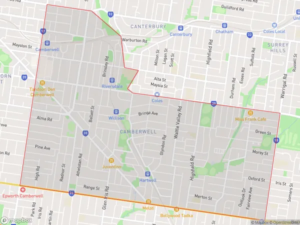
HartwellHartwell Suburb Area Map (Polygon)

Hartwell Introduction
Hartwell is a suburb in Melbourne's inner east, located 10 kilometers southeast of the CBD. It is bordered by the Yarra River and EastLink, and is home to a variety of parks, including Hartwell Park and Alexandra Gardens. The suburb has a rich history, with the Hartwell railway station being built in 1889. It is also home to a number of historic buildings, including the Hartwell Masonic Hall and the Hartwell Post Office.State Name
City or Big Region
District or Regional Area
Suburb Name
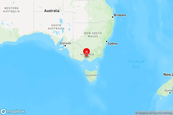
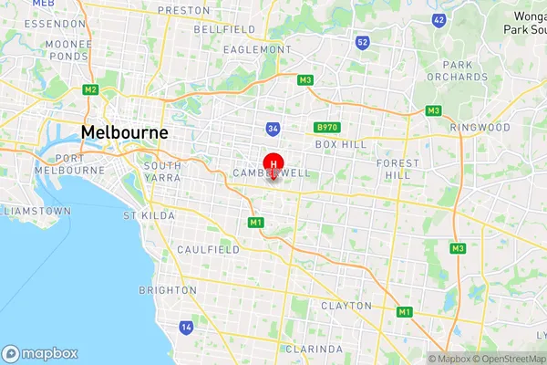
Hartwell Region Map

Country
Main Region in AU
R1Coordinates
-37.84407,145.075599 (latitude/longitude)Hartwell Area Map (Street)

Longitude
145.068191Latitude
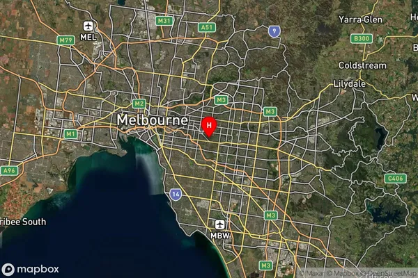
-37.840867Hartwell Suburb Map (Satellite)

Distances
The distance from Hartwell, Melbourne - Inner East, VIC to AU Greater Capital CitiesSA1 Code 2011
20701114916SA1 Code 2016
20701114916SA2 Code
207011149SA3 Code
20701SA4 Code
207RA 2011
1RA 2016
1MMM 2015
1MMM 2019
1Charge Zone
V1LGA Region
BoroondaraLGA Code
21110Electorate
Kooyong