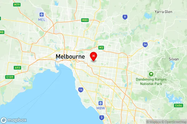
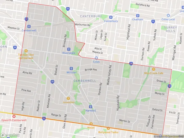
Camberwell Suburbs & Region, Camberwell Map & Postcodes
Camberwell Suburbs & Region, Camberwell Map & Postcodes in Camberwell, Boroondara, Melbourne Inner East, VIC, AU
Camberwell Region
Region Name
Camberwell (VIC, AU)Camberwell Area
7.29 square kilometers (7.29 ㎢)Postal Codes
3124 (In total, there are 1 postcodes in Camberwell.)Camberwell Introduction
Camberwell is a suburb in Melbourne, Australia, 8 km south-east of Melbourne's central business district. Its local government area is the City of Boroondara. Camberwell Junction is a major shopping precinct on Burke Street, and the Camberwell Market is held on the third Sunday of each month. The Camberwell Grammar School is one of Australia's most prestigious independent boys' schools.Australia State
City or Big Region
Greater Capital City
Greater Melbourne (2GMEL)District or Regional Area
Suburb Name
Camberwell Region Map

Camberwell Postcodes / Zip Codes
Camberwell Suburbs
Camberwell full address
Camberwell, Boroondara, Melbourne Inner East, Victoria, VIC, Australia, SaCode: 207011149Country
Camberwell, Boroondara, Melbourne Inner East, Victoria, VIC, Australia, SaCode: 207011149
Camberwell Suburbs & Region, Camberwell Map & Postcodes has 0 areas or regions above, and there are 5 Camberwell suburbs below. The sa2code for the Camberwell region is 207011149. Its latitude and longitude coordinates are -37.8334,145.066. Camberwell area belongs to Australia's greater capital city Greater Melbourne.
Camberwell Suburbs & Localities
1. Hartwell
2. Middle Camberwell
3. Camberwell South
4. Camberwell
5. Camberwell North
