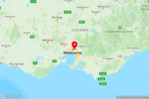
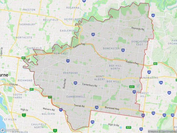
Melbourne Inner East Suburbs & Region, Melbourne Inner East Map & Postcodes
Melbourne Inner East Suburbs & Region, Melbourne Inner East Map & Postcodes in Melbourne Inner East, VIC, AU
Melbourne Inner East Region
Region Name
Melbourne Inner East (VIC, AU)Melbourne Inner East Area
146.74 square kilometers (146.74 ㎢)Postal Codes
from 3101 to 3104, from 3106 to 3108, 3123, 3124, from 3126 to 3130, 3142, and 3151 (In total, there are 16 postcodes in Melbourne Inner East.)Melbourne Inner East Introduction
Melbourne Inner East is a suburb of Melbourne, Victoria, Australia, 3 km east of Melbourne's central business district (CBD). Its local government area is the City of Boroondara. At the 2016 Census, Melbourne Inner East had a population of 15,074. The suburb is represented by two members of the Victorian Legislative Assembly, with the Labor Party holding both seats. The suburb is part of the federal Division of Melbourne, represented by Sophie Mirabella of the Liberal Party.Australia State
City or Big Region
Melbourne Inner East Region Map

Melbourne Inner East Postcodes / Zip Codes
Melbourne Inner East Suburbs
Manningham West
Whitehorse West
Melbourne Inner East full address
Melbourne Inner East, Victoria, VIC, Australia, SaCode: 207Country
Melbourne Inner East, Victoria, VIC, Australia, SaCode: 207
Melbourne Inner East Suburbs & Region, Melbourne Inner East Map & Postcodes has 3 areas or regions above, and there are 42 Melbourne Inner East suburbs below. The sa4code for the Melbourne Inner East region is 207. Its latitude and longitude coordinates are -37.8086,145.046.
Melbourne Inner East Suburbs & Localities
1. Hawksburn
2. Balwyn East
3. Balwyn North
4. Hartwell
5. Auburn
6. Cotham
7. Kew East
8. Camberwell East
9. Surrey Hills
10. Doncaster
11. Templestowe
12. Templestowe Lower
13. Blackburn
14. Box Hill South
15. Mont Albert North
16. Burwood East
