Auburn Area, Auburn Postcode(3123) & Map in Auburn, Melbourne - Inner East, VIC
Auburn Area, Auburn Postcode(3123) & Map in Auburn, Melbourne - Inner East, VIC, AU, Postcode: 3123
Auburn, Hawthorn, Boroondara, Melbourne - Inner East, Victoria, Australia, 3123
Auburn Postcode
Area Name
AuburnAuburn Suburb Area Map (Polygon)

Auburn Introduction
Auburn is a suburb in Melbourne's inner east, 6 km from the CBD. It has a rich multicultural history and is known for its vibrant shopping district, with a variety of restaurants and cafes. The suburb also has a large community of Greek Australians and is home to the famous Auburn Football Club.State Name
City or Big Region
District or Regional Area
Suburb Name
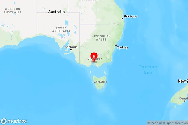
Auburn Region Map

Country
Main Region in AU
R1Coordinates
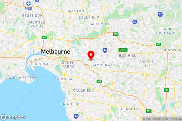
-37.830327,145.0435616 (latitude/longitude)Auburn Area Map (Street)

Longitude
145.049415Latitude
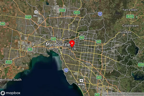
-37.829752Auburn Suburb Map (Satellite)

Distances
The distance from Auburn, Melbourne - Inner East, VIC to AU Greater Capital CitiesSA1 Code 2011
20701115125SA1 Code 2016
20701115125SA2 Code
207011151SA3 Code
20701SA4 Code
207RA 2011
1RA 2016
1MMM 2015
1MMM 2019
1Charge Zone
V1LGA Region
BoroondaraLGA Code
21110Electorate
Kooyong