Hawksburn Area, Hawksburn Postcode(3142) & Map in Hawksburn, Melbourne - Inner, VIC
Hawksburn Area, Hawksburn Postcode(3142) & Map in Hawksburn, Melbourne - Inner, VIC, AU, Postcode: 3142
Hawksburn, South Yarra - East, Stonnington - West, Melbourne - Inner, Victoria, Australia, 3142
Hawksburn Postcode
Area Name
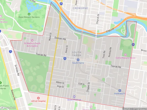
HawksburnHawksburn Suburb Area Map (Polygon)

Hawksburn Introduction
Hawksburn is a suburb in Melbourne, Australia, 8 km north-east of the Melbourne Central Business District. It is represented by the City of Boroondara local government area. The suburb is named after a property owned by John Batman, who was the founder of Melbourne. Hawksburn is known for its tree-lined streets, well-maintained parks, and vibrant community. It is home to several prestigious schools, including Caulfield Grammar School, Chanel College, and Wesley College.State Name
City or Big Region
District or Regional Area
Suburb Name
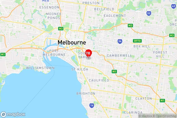
Hawksburn Region Map

Country
Main Region in AU
R1Coordinates
-37.8447415,145.0022549 (latitude/longitude)Hawksburn Area Map (Street)

Longitude
145.017732Latitude
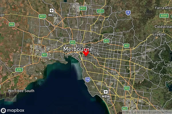
-37.84411Hawksburn Suburb Map (Satellite)

Distances
The distance from Hawksburn, Melbourne - Inner, VIC to AU Greater Capital CitiesSA1 Code 2011
20606113705SA1 Code 2016
20606113705SA2 Code
206061137SA3 Code
20606SA4 Code
206RA 2011
1RA 2016
1MMM 2015
1MMM 2019
1Charge Zone
V1LGA Region
StonningtonLGA Code
26350Electorate
Higgins