Templestowe Area, Templestowe Postcode(3106) & Map in Templestowe, Melbourne - Inner East, VIC
Templestowe Area, Templestowe Postcode(3106) & Map in Templestowe, Melbourne - Inner East, VIC, AU, Postcode: 3106
Templestowe, Templestowe, Manningham - West, Melbourne - Inner East, Victoria, Australia, 3106
Templestowe Postcode
Area Name
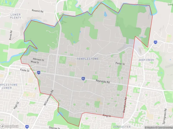
TemplestoweTemplestowe Suburb Area Map (Polygon)

Templestowe Introduction
Templestowe is a suburb in Melbourne's inner east, 10 kilometers north-east of the CBD. It is well-known for its high-end real estate and peaceful atmosphere. Templestowe has a variety of parks and recreational facilities, including the Templestowe Village Shopping Centre, which includes a supermarket, specialty stores, and cafes. The suburb is also home to several prestigious schools, including Templestowe College and Mount Scopus College.State Name
City or Big Region
District or Regional Area
Suburb Name
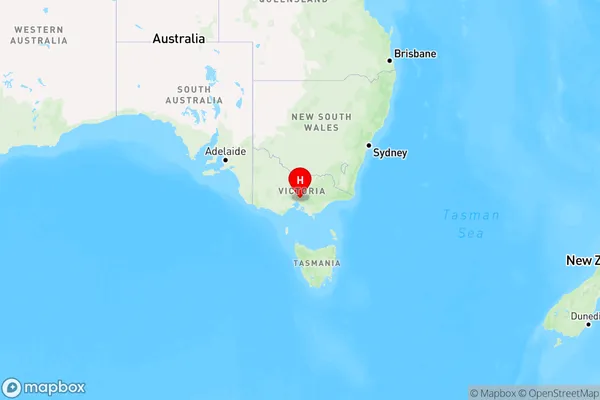
Templestowe Region Map

Country
Main Region in AU
R1Coordinates
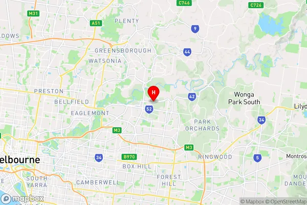
-37.7537669,145.1486206 (latitude/longitude)Templestowe Area Map (Street)

Longitude
145.142675Latitude
-37.758335Templestowe Elevation
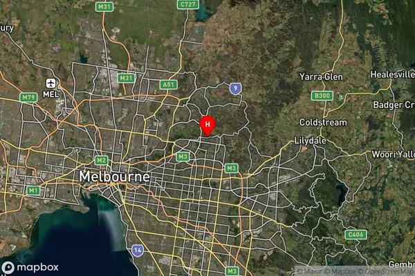
about 74.25 meters height above sea level (Altitude)Templestowe Suburb Map (Satellite)

Distances
The distance from Templestowe, Melbourne - Inner East, VIC to AU Greater Capital CitiesSA1 Code 2011
20702115935SA1 Code 2016
20702115935SA2 Code
207021159SA3 Code
20702SA4 Code
207RA 2011
1RA 2016
1MMM 2015
1MMM 2019
1Charge Zone
V1LGA Region
ManninghamLGA Code
24210Electorate
Menzies