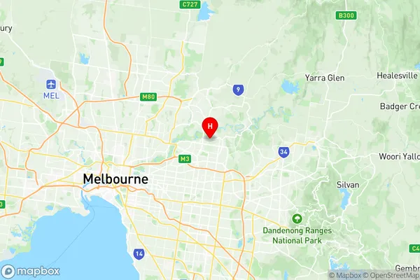
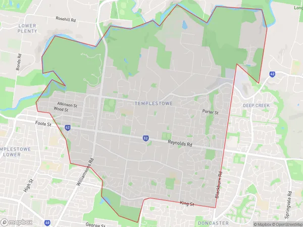
Templestowe Suburbs & Region, Templestowe Map & Postcodes
Templestowe Suburbs & Region, Templestowe Map & Postcodes in Templestowe, Manningham West, Melbourne Inner East, VIC, AU
Templestowe Region
Region Name
Templestowe (VIC, AU)Templestowe Area
16.12 square kilometers (16.12 ㎢)Postal Codes
3106 (In total, there are 1 postcodes in Templestowe.)Templestowe Introduction
Templestowe is a suburb in Melbourne, Victoria, Australia, 11 km east of Melbourne's central business district. Its local government area is the City of Monash. At the 2016 Census, Templestowe had a population of 21,054. Templestowe is named after the Scottish town of Templestowe. The first land sale in the area was in 1852, and the suburb was named in 1858. The post office opened on 1 October 1859 and was closed on 1 March 1974. The suburb has a variety of shops, including a large supermarket, a variety of specialty stores, and several cafes and restaurants. There are also several parks and recreational facilities, including the Templestowe Park Golf Course and the Templestowe Village Shopping Centre. Templestowe is well-connected to the rest of Melbourne, with easy access to the Monash Freeway and the EastLink freeway. It is also served by several bus routes, including the 592 and 608 trams, which run to the city centre.Australia State
City or Big Region
Greater Capital City
Greater Melbourne (2GMEL)District or Regional Area
Suburb Name
Templestowe Region Map

Templestowe Postcodes / Zip Codes
Templestowe Suburbs
Templestowe full address
Templestowe, Manningham West, Melbourne Inner East, Victoria, VIC, Australia, SaCode: 207021159Country
Templestowe, Manningham West, Melbourne Inner East, Victoria, VIC, Australia, SaCode: 207021159
Templestowe Suburbs & Region, Templestowe Map & Postcodes has 0 areas or regions above, and there are 1 Templestowe suburbs below. The sa2code for the Templestowe region is 207021159. Its latitude and longitude coordinates are -37.7538,145.149. Templestowe area belongs to Australia's greater capital city Greater Melbourne.
Templestowe Suburbs & Localities
1. Templestowe
