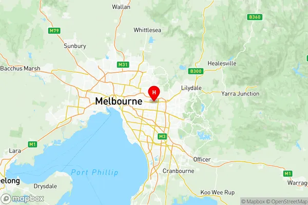
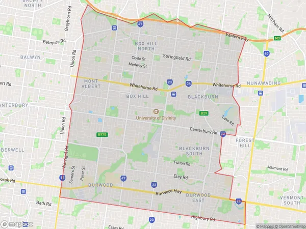
Whitehorse West Suburbs & Region, Whitehorse West Map & Postcodes
Whitehorse West Suburbs & Region, Whitehorse West Map & Postcodes in Whitehorse West, Melbourne Inner East, VIC, AU
Whitehorse West Region
Region Name
Whitehorse West (VIC, AU)Whitehorse West Area
38.06 square kilometers (38.06 ㎢)Postal Codes
3104, 3108, from 3127 to 3130, and 3151 (In total, there are 7 postcodes in Whitehorse West.)Whitehorse West Introduction
Whitehorse West is a suburb in Melbourne, Victoria, Australia. It is located 5 kilometers east of Melbourne's central business district and is part of the City of Melbourne local government area. The suburb is named after the Whitehorse Hill railway station, which was opened in 1889. It is primarily a residential area with a mix of apartment buildings and single-family homes. The suburb has a variety of shops, cafes, and restaurants, as well as several parks and recreational facilities. It is also home to the Whitehorse Reserve, a large park that includes walking trails, cricket fields, and a playground. Whitehorse West is well-connected to the rest of Melbourne via public transportation, with several bus routes and the Eastern Freeway nearby.Australia State
City or Big Region
District or Regional Area
Whitehorse West Region Map

Whitehorse West Postcodes / Zip Codes
Whitehorse West Suburbs
Surrey Hills (West) Canterbury
Surrey Hills (East) Mont Albert
Whitehorse West full address
Whitehorse West, Melbourne Inner East, Victoria, VIC, Australia, SaCode: 20703Country
Whitehorse West, Melbourne Inner East, Victoria, VIC, Australia, SaCode: 20703
Whitehorse West Suburbs & Region, Whitehorse West Map & Postcodes has 9 areas or regions above, and there are 20 Whitehorse West suburbs below. The sa3code for the Whitehorse West region is 20703. Its latitude and longitude coordinates are -37.8197,145.153.
Whitehorse West Suburbs & Localities
1. Surrey Hills
2. Box Hill South
3. Mont Albert North
4. Burwood East
5. Balwyn North
6. Greythorn
7. Mont Albert
8. Box Hill Central
9. Blackburn
10. Laburnum
11. Surrey Hills North
12. Houston
13. Blackburn South
14. Burwood Heights
15. Doncaster
16. Box Hill
17. Wattle Park
18. Box Hill North
19. Kerrimuir
20. Blackburn North
