Box Hill Central Area, Box Hill Central Postcode(3128) & Map in Box Hill Central, Melbourne - Inner East, VIC
Box Hill Central Area, Box Hill Central Postcode(3128) & Map in Box Hill Central, Melbourne - Inner East, VIC, AU, Postcode: 3128
Box Hill Central, Box Hill, Whitehorse - West, Melbourne - Inner East, Victoria, Australia, 3128
Box Hill Central Postcode
Area Name
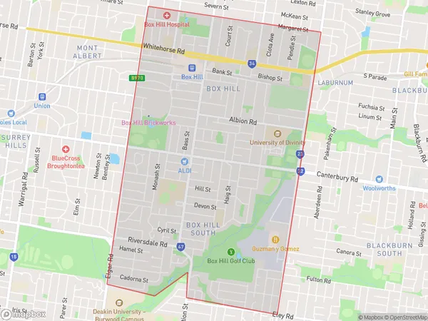
Box Hill CentralBox Hill Central Suburb Area Map (Polygon)

Box Hill Central Introduction
Box Hill Central is a shopping center located in the heart of Box Hill, Melbourne, Inner East, VIC, AU. It is a popular destination for locals and tourists alike, offering a wide range of shops, restaurants, and entertainment options. The center is anchored by major retailers such as Coles, Woolworths, and Kmart, as well as a variety of specialty stores and cafes. It also features a cinema complex, a bowling alley, and a variety of fitness and health facilities.State Name
City or Big Region
District or Regional Area
Suburb Name
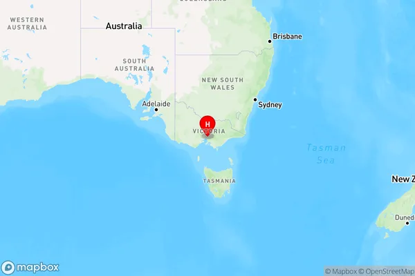
Box Hill Central Region Map

Country
Main Region in AU
R1Coordinates
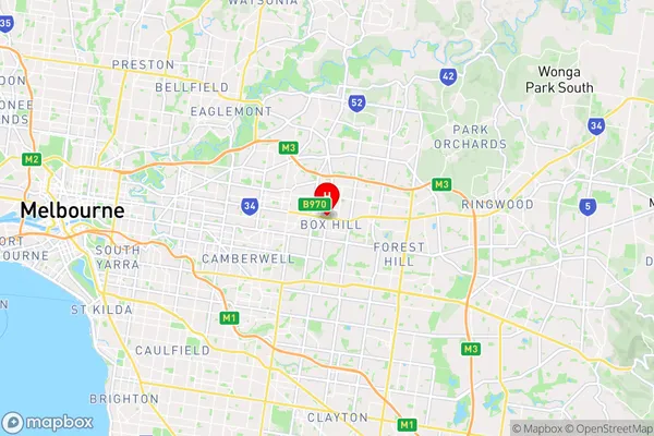
-37.8181073,145.1238563 (latitude/longitude)Box Hill Central Area Map (Street)

Longitude
145.122393Latitude
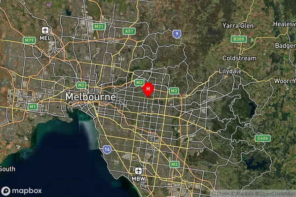
-37.828866Box Hill Central Suburb Map (Satellite)

Distances
The distance from Box Hill Central, Melbourne - Inner East, VIC to AU Greater Capital CitiesSA1 Code 2011
20703116317SA1 Code 2016
20703116342SA2 Code
207031163SA3 Code
20703SA4 Code
207RA 2011
1RA 2016
1MMM 2015
1MMM 2019
1Charge Zone
V1LGA Region
WhitehorseLGA Code
26980Electorate
Chisholm