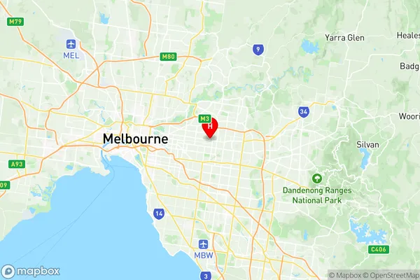
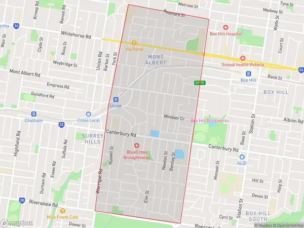
Surrey Hills (East) Mont Albert Suburbs & Region, Surrey Hills (East) Mont Albert Map & Postcodes
Surrey Hills (East) Mont Albert Suburbs & Region, Surrey Hills (East) Mont Albert Map & Postcodes in Surrey Hills (East) Mont Albert, Whitehorse West, Melbourne Inner East, VIC, AU
Surrey Hills (East) Mont Albert Region
Region Name
Surrey Hills (East) Mont Albert (VIC, AU)Surrey Hills (East) Mont Albert Area
3.33 square kilometers (3.33 ㎢)Surrey Hills (East) Mont Albert Introduction
Surrey Hills (East) Mont Albert is a suburb in Melbourne, Victoria, Australia. It is located 7 km east of Melbourne's central business district (CBD). The suburb is part of the City of Boroondara local government area. Surrey Hills (East) Mont Albert is a well-established suburb with a mix of residential and commercial properties. It is known for its leafy streets, parks, and excellent public transport links. The area has a large Chinese community and is home to many Chinese restaurants, grocery stores, and bakeries. Surrey Hills (East) Mont Albert is also home to several prestigious schools, including Mont Albert Grammar School, which is one of the top-performing schools in Victoria. The suburb is well-connected to other parts of Melbourne, with easy access to the Eastern Freeway and the Monash Freeway. In conclusion, Surrey Hills (East) Mont Albert is a vibrant and diverse suburb with a lot to offer its residents and visitors. Its convenient location, excellent infrastructure, and rich cultural heritage make it a popular choice for those looking to live or visit in Melbourne.Australia State
City or Big Region
Greater Capital City
Greater Melbourne (2GMEL)District or Regional Area
Suburb Name
Surrey Hills (East) Mont Albert Region Map

Surrey Hills (East) Mont Albert Suburbs
Surrey Hills (East) Mont Albert full address
Surrey Hills (East) Mont Albert, Whitehorse West, Melbourne Inner East, Victoria, VIC, Australia, SaCode: 207031167Country
Surrey Hills (East) Mont Albert, Whitehorse West, Melbourne Inner East, Victoria, VIC, Australia, SaCode: 207031167
Surrey Hills (East) Mont Albert Suburbs & Region, Surrey Hills (East) Mont Albert Map & Postcodes has 0 areas or regions above, and there are 0 Surrey Hills (East) Mont Albert suburbs below. The sa2code for the Surrey Hills (East) Mont Albert region is 207031167. Its latitude and longitude coordinates are -37.8161,145.11. Surrey Hills (East) Mont Albert area belongs to Australia's greater capital city Greater Melbourne.
