Kerrimuir Area, Kerrimuir Postcode(3129) & Map in Kerrimuir, Melbourne - Inner East, VIC
Kerrimuir Area, Kerrimuir Postcode(3129) & Map in Kerrimuir, Melbourne - Inner East, VIC, AU, Postcode: 3129
Kerrimuir, Box Hill North, Whitehorse - West, Melbourne - Inner East, Victoria, Australia, 3129
Kerrimuir Postcode
Area Name
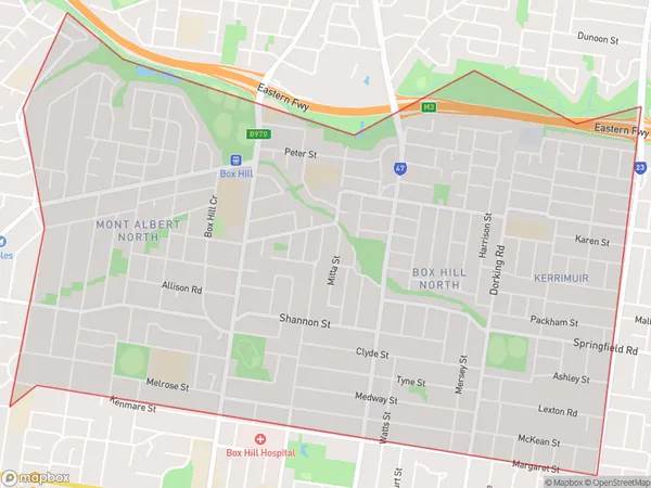
KerrimuirKerrimuir Suburb Area Map (Polygon)

Kerrimuir Introduction
Kerrimuir is a suburb in Melbourne's inner east, located 6 kilometers from the CBD. It is known for its peaceful atmosphere, tree-lined streets, and well-maintained homes. The suburb has a variety of shops, cafes, and parks, including the popular Kerrimuir Reserve. It is also home to a number of educational institutions, including Monash University and the Australian Catholic University.State Name
City or Big Region
District or Regional Area
Suburb Name
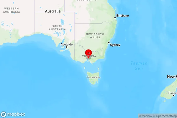
Kerrimuir Region Map

Country
Main Region in AU
R1Coordinates
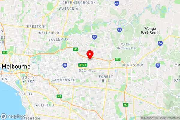
-37.8025133,145.1326143 (latitude/longitude)Kerrimuir Area Map (Street)

Longitude
145.125084Latitude
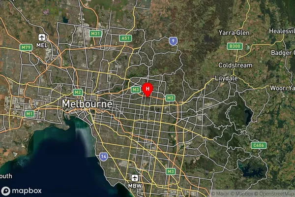
-37.806965Kerrimuir Suburb Map (Satellite)

Distances
The distance from Kerrimuir, Melbourne - Inner East, VIC to AU Greater Capital CitiesSA1 Code 2011
20703116432SA1 Code 2016
20703116432SA2 Code
207031164SA3 Code
20703SA4 Code
207RA 2011
1RA 2016
1MMM 2015
1MMM 2019
1Charge Zone
V1LGA Region
WhitehorseLGA Code
26980Electorate
Kooyong