Wattle Park Area, Wattle Park Postcode(3128) & Map in Wattle Park, Melbourne - Inner East, VIC
Wattle Park Area, Wattle Park Postcode(3128) & Map in Wattle Park, Melbourne - Inner East, VIC, AU, Postcode: 3128
Wattle Park, Burwood, Whitehorse - West, Melbourne - Inner East, Victoria, Australia, 3128
Wattle Park Postcode
Area Name
Wattle ParkWattle Park Suburb Area Map (Polygon)

Wattle Park Introduction
Wattle Park is a historic park located in Melbourne's inner east, renowned for its stunning collection of Australian native plants and trees. It was established in 1860 and is considered one of the city's oldest parks. The park features a variety of walking trails, picnic areas, and playground facilities, making it a popular destination for families and nature enthusiasts alike. Wattle Park also hosts a number of cultural events and festivals throughout the year, including the Wattle Day celebrations and the Melbourne International Flower and Garden Show.State Name
City or Big Region
District or Regional Area
Suburb Name
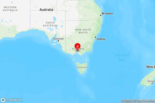
Wattle Park Region Map

Country
Main Region in AU
R1Coordinates
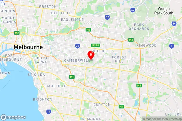
-37.8383693,145.1056319 (latitude/longitude)Wattle Park Area Map (Street)

Longitude
145.122393Latitude
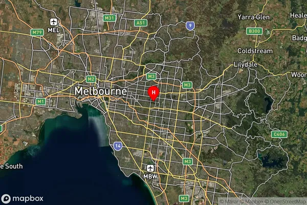
-37.828866Wattle Park Suburb Map (Satellite)

Distances
The distance from Wattle Park, Melbourne - Inner East, VIC to AU Greater Capital CitiesSA1 Code 2011
20703116525SA1 Code 2016
20703116525SA2 Code
207031165SA3 Code
20703SA4 Code
207RA 2011
1RA 2016
1MMM 2015
1MMM 2019
1Charge Zone
V1LGA Region
WhitehorseLGA Code
26980Electorate
Chisholm