Mont Albert North Area, Mont Albert North Postcode(3129) & Map in Mont Albert North, Melbourne - Inner East, VIC
Mont Albert North Area, Mont Albert North Postcode(3129) & Map in Mont Albert North, Melbourne - Inner East, VIC, AU, Postcode: 3129
Mont Albert North, Box Hill North, Whitehorse - West, Melbourne - Inner East, Victoria, Australia, 3129
Mont Albert North Postcode
Area Name
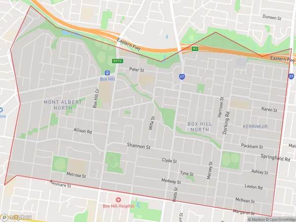
Mont Albert NorthMont Albert North Suburb Area Map (Polygon)

Mont Albert North Introduction
Mont Albert North is a suburb in Melbourne's inner east, located 7 kilometers north-east of the Melbourne CBD. It is known for its high population density and multicultural community, with a large number of immigrants from Asia and Europe. The suburb has a variety of shops, restaurants, and parks, and is well-connected to public transport. It is also home to a number of prestigious schools, including Mont Albert Grammar School and Box Hill Institute.State Name
City or Big Region
District or Regional Area
Suburb Name
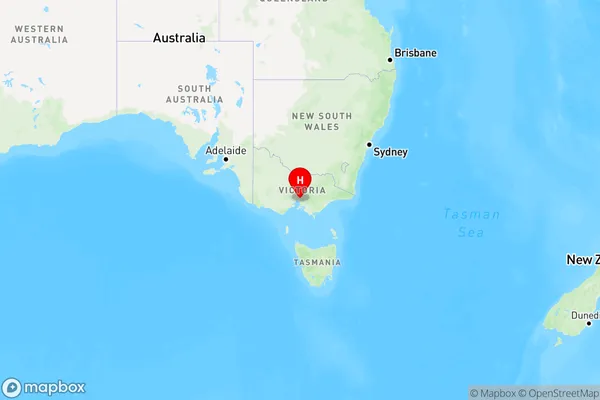
Mont Albert North Region Map

Country
Main Region in AU
R1Coordinates
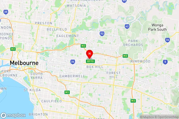
-37.808056,145.113889 (latitude/longitude)Mont Albert North Area Map (Street)

Longitude
145.125084Latitude
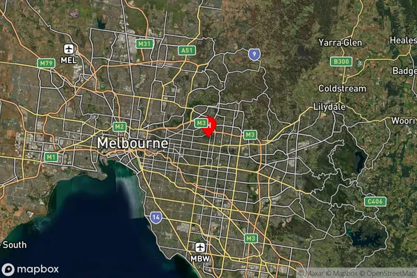
-37.806965Mont Albert North Suburb Map (Satellite)

Distances
The distance from Mont Albert North, Melbourne - Inner East, VIC to AU Greater Capital CitiesSA1 Code 2011
20703116428SA1 Code 2016
20703116428SA2 Code
207031164SA3 Code
20703SA4 Code
207RA 2011
1RA 2016
1MMM 2015
1MMM 2019
1Charge Zone
V1LGA Region
WhitehorseLGA Code
26980Electorate
Kooyong