Burwood Heights Area, Burwood Heights Postcode(3151) & Map in Burwood Heights, Melbourne - Inner East, VIC
Burwood Heights Area, Burwood Heights Postcode(3151) & Map in Burwood Heights, Melbourne - Inner East, VIC, AU, Postcode: 3151
Burwood Heights, Burwood East, Whitehorse - West, Melbourne - Inner East, Victoria, Australia, 3151
Burwood Heights Postcode
Area Name
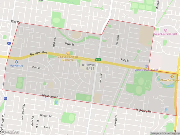
Burwood HeightsBurwood Heights Suburb Area Map (Polygon)

Burwood Heights Introduction
Burwood Heights is a suburb in Melbourne's inner east, located 7 kilometers from the CBD. It is known for its high-quality housing, leafy streets, and excellent public transport links. The suburb has a variety of shops, restaurants, and parks, including Burwood Park and Burwood Heights Reserve. It is also home to several prestigious schools, including Burwood Girls High School and De La Salle College.State Name
City or Big Region
District or Regional Area
Suburb Name
Burwood Heights Region Map

Country
Main Region in AU
R1Coordinates
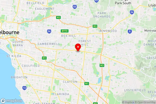
-37.8552869,145.1513801 (latitude/longitude)Burwood Heights Area Map (Street)

Longitude
145.151119Latitude
-37.85523Burwood Heights Suburb Map (Satellite)

Distances
The distance from Burwood Heights, Melbourne - Inner East, VIC to AU Greater Capital CitiesSA1 Code 2011
20703116603SA1 Code 2016
20703116603SA2 Code
207031166SA3 Code
20703SA4 Code
207RA 2011
1RA 2016
1MMM 2015
1MMM 2019
1Charge Zone
V1LGA Region
WhitehorseLGA Code
26980Electorate
Chisholm