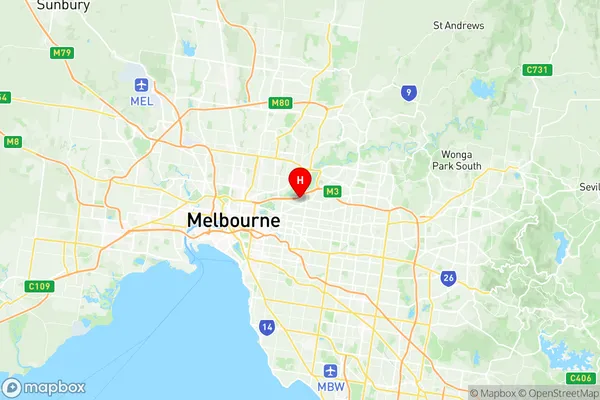
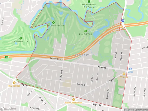
Kew East Suburbs & Region, Kew East Map & Postcodes
Kew East Suburbs & Region, Kew East Map & Postcodes in Kew East, Boroondara, Melbourne Inner East, VIC, AU
Kew East Region
Region Name
Kew East (VIC, AU)Kew East Area
4.02 square kilometers (4.02 ㎢)Postal Codes
3102, and 3103 (In total, there are 2 postcodes in Kew East.)Kew East Introduction
Kew East is a suburb in Melbourne, Victoria, Australia. It is located 6 km east of Melbourne's central business district (CBD). The suburb is bordered by the Yarra River to the north, Burke Road to the east, High Street to the south, and Glenferrie Road to the west. Kew East has a rich history and was once home to some of Melbourne's most prominent families. The suburb is known for its beautiful gardens, including the Kew Gardens, which are one of the world's largest botanical gardens. The suburb also has a variety of shopping centers, restaurants, and cafes, as well as several parks and recreational facilities.Australia State
City or Big Region
Greater Capital City
Greater Melbourne (2GMEL)District or Regional Area
Suburb Name
Kew East Region Map

Kew East Postcodes / Zip Codes
Kew East Suburbs
Kew East full address
Kew East, Boroondara, Melbourne Inner East, Victoria, VIC, Australia, SaCode: 207011154Country
Kew East, Boroondara, Melbourne Inner East, Victoria, VIC, Australia, SaCode: 207011154
Kew East Suburbs & Region, Kew East Map & Postcodes has 0 areas or regions above, and there are 2 Kew East suburbs below. The sa2code for the Kew East region is 207011154. Its latitude and longitude coordinates are -37.7923,145.055. Kew East area belongs to Australia's greater capital city Greater Melbourne.
Kew East Suburbs & Localities
1. Stradbroke Park
2. Kew East
