Kew Area, Kew Postcode(3101) & Map in Kew, Melbourne - Inner East, VIC
Kew Area, Kew Postcode(3101) & Map in Kew, Melbourne - Inner East, VIC, AU, Postcode: 3101
Kew, Kew, Boroondara, Melbourne - Inner East, Victoria, Australia, 3101
Kew Postcode
Area Name
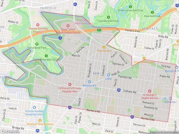
KewKew Suburb Area Map (Polygon)

Kew Introduction
Kew is a suburb in Melbourne, Victoria, Australia. It is located 6 kilometers east of Melbourne's central business district. Kew is known for its prestigious gardens, including the Royal Botanic Gardens, which is one of the world's largest and most comprehensive botanical gardens. The suburb also has a rich cultural heritage, with numerous historic buildings and museums.State Name
City or Big Region
District or Regional Area
Suburb Name
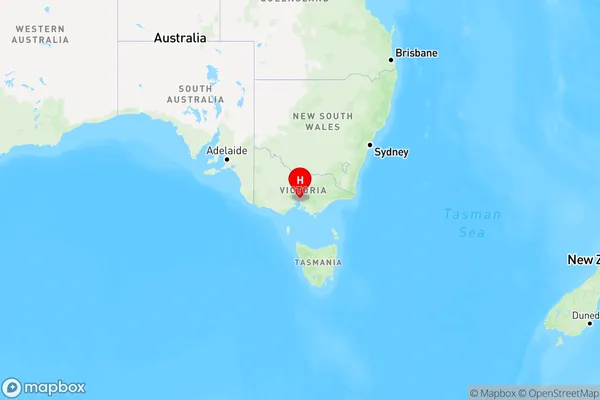
Kew Region Map

Country
Main Region in AU
R1Coordinates
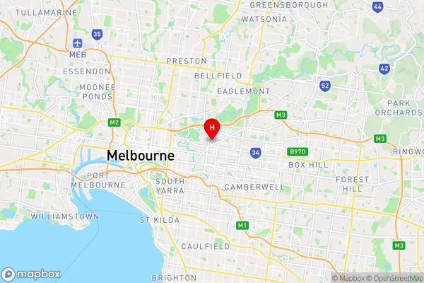
-37.803516,145.0328017 (latitude/longitude)Kew Area Map (Street)

Longitude
145.036575Latitude
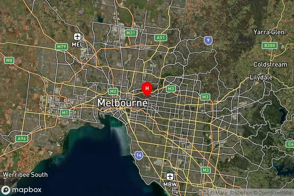
-37.807397Kew Suburb Map (Satellite)

Distances
The distance from Kew, Melbourne - Inner East, VIC to AU Greater Capital CitiesSA1 Code 2011
20701115316SA1 Code 2016
20701115316SA2 Code
207011153SA3 Code
20701SA4 Code
207RA 2011
1RA 2016
1MMM 2015
1MMM 2019
1Charge Zone
V1LGA Region
BoroondaraLGA Code
21110Electorate
Kooyong