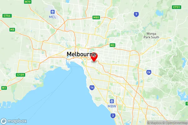
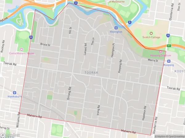
Toorak Suburbs & Region, Toorak Map & Postcodes
Toorak Suburbs & Region, Toorak Map & Postcodes in Toorak, Boroondara, Melbourne Inner East, VIC, AU
Toorak Region
Region Name
Toorak (VIC, AU)Toorak Area
4.32 square kilometers (4.32 ㎢)Postal Codes
3142 (In total, there are 1 postcodes in Toorak.)Toorak Introduction
Toorak is a suburb of Melbourne, Victoria, Australia, 8 km south-east of Melbourne's central business district. It is locally governed by the City of Melbourne and is part of the City of Banyule local government area. Toorak is known for its high-end shopping, luxury hotels, and prestigious private schools. It is also home to the Toorak Village shopping district, which features boutique stores, cafes, and restaurants. The suburb is surrounded by parks and gardens, including the Royal Botanic Gardens, and is located within easy reach of the Melbourne CBD and the eastern suburbs.Australia State
City or Big Region
Greater Capital City
Greater Melbourne (2GMEL)District or Regional Area
Suburb Name
Toorak Region Map

Toorak Postcodes / Zip Codes
Toorak Suburbs
Toorak full address
Toorak, Boroondara, Melbourne Inner East, Victoria, VIC, Australia, SaCode: 206061138Country
Toorak, Boroondara, Melbourne Inner East, Victoria, VIC, Australia, SaCode: 206061138
Toorak Suburbs & Region, Toorak Map & Postcodes has 0 areas or regions above, and there are 1 Toorak suburbs below. The sa2code for the Toorak region is 206061138. Its latitude and longitude coordinates are -37.8432,145.019. Toorak area belongs to Australia's greater capital city Greater Melbourne.
Toorak Suburbs & Localities
1. Toorak
