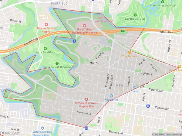
Kew West Suburbs & Region, Kew West Map & Postcodes
Kew West Suburbs & Region, Kew West Map & Postcodes in Kew West, Boroondara, Melbourne Inner East, VIC, AU
Kew West Region
Region Name
Kew West (VIC, AU)Kew West Area
6.21 square kilometers (6.21 ㎢)Kew West Introduction
Kew West is a suburb in Melbourne, Australia, 8 km east of Melbourne's central business district (CBD). It is represented by the Legislative Assembly of Victoria as part of the electorate of Hawthorn. The post office opened as Kew East on 1 October 1889 and was renamed Kew West in 1949. The suburb is named after Kew Gardens, which is located in London. Kew West has a variety of shops, restaurants, and parks, including the Kew Golf Club and the Kew Botanic Gardens. It is also home to the Kew West Primary School and the Kew Junction Shopping Centre.Australia State
City or Big Region
Greater Capital City
Greater Melbourne (2GMEL)District or Regional Area
Suburb Name
Kew West Suburbs
Kew West full address
Kew West, Boroondara, Melbourne Inner East, Victoria, VIC, Australia, SaCode: 207011522Country
Kew West, Boroondara, Melbourne Inner East, Victoria, VIC, Australia, SaCode: 207011522
Kew West Suburbs & Region, Kew West Map & Postcodes has 0 areas or regions above, and there are 0 Kew West suburbs below. The sa2code for the Kew West region is 207011522. Kew West area belongs to Australia's greater capital city Greater Melbourne.
