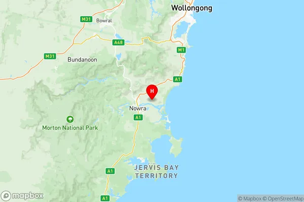
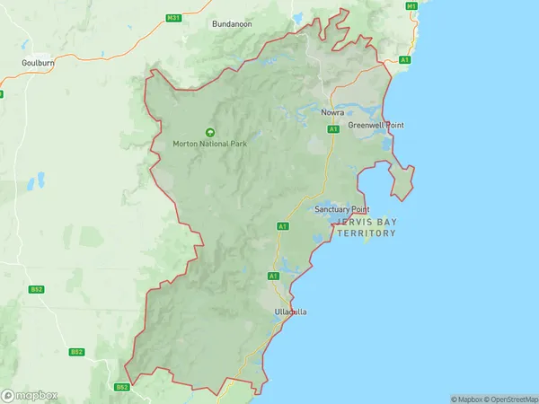
Shoalhaven Suburbs & Region, Shoalhaven Map & Postcodes
Shoalhaven Suburbs & Region, Shoalhaven Map & Postcodes in Shoalhaven, Southern Highlands and Shoalhaven, NSW, AU
Shoalhaven Region
Region Name
Shoalhaven (NSW, AU)Shoalhaven Area
4375 square kilometers (4,375 ㎢)Postal Codes
2232, 2304, 2535, 2536, 2538, 2539, 2541, and 2622 (In total, there are 8 postcodes in Shoalhaven.)Shoalhaven Introduction
Shoalhaven is a locality in the South Coast region of New South Wales, Australia. It is located about 250 kilometers south of Sydney and 35 kilometers southeast of Nowra. The Shoalhaven River flows through the area, and the town of Nowra is the administrative center of the Shoalhaven region. The Shoalhaven region is known for its beautiful beaches, lush forests, and scenic countryside. It is a popular destination for tourists and retirees, with many attractions and activities to enjoy. The region is home to a number of wineries and breweries, as well as a number of festivals and events throughout the year.Australia State
City or Big Region
District or Regional Area
Shoalhaven Region Map

Shoalhaven Postcodes / Zip Codes
Shoalhaven Suburbs
Kiama Hinterland Gerringong
Shoalhaven full address
Shoalhaven, Southern Highlands and Shoalhaven, New South Wales, NSW, Australia, SaCode: 11401Country
Shoalhaven, Southern Highlands and Shoalhaven, New South Wales, NSW, Australia, SaCode: 11401
Shoalhaven Suburbs & Region, Shoalhaven Map & Postcodes has 11 areas or regions above, and there are 145 Shoalhaven suburbs below. The sa3code for the Shoalhaven region is 11401. Its latitude and longitude coordinates are -34.8414,150.678.
Shoalhaven Suburbs & Localities
1. Wattamolla
2. Mayfield
3. Back Forest
4. Berry Mountain
5. Broughton
6. Coolangatta
7. Jaspers Brush
8. Shoalhaven Heads
9. Catalina
10. Currowan
11. East Lynne
12. Lilli Pilli
13. Maloneys Beach
14. Mogo
15. Little Forest
16. Milton
17. Mogood
18. Woodburn
19. Conjola Park
20. Lake Conjola
21. Bomaderry
22. Nowra East
23. Berry
24. Budderoo
25. Benandarah
26. Bimbimbie
27. Durras North
28. Jeremadra
29. Brooman
30. Woodstock
31. Bawley Point
32. Burrill Lake
33. Cockwhy
34. Conjola
35. Cunjurong Point
36. Dolphin Point
37. Fishermans Paradise
38. Kings Point
39. Kioloa
40. Manyana
41. Mount Kingiman
42. Termeil
43. Yadboro
44. Nowra
45. Nowra North
46. South Nowra
47. West Nowra
48. Brogers Creek
49. Far Meadow
50. Wattamolla
51. Woodhill
52. Batehaven
53. Batemans Bay
54. Buckenbowra
55. Denhams Beach
56. Depot Beach
57. Guerilla Bay
58. Malua Bay
59. North Batemans Bay
60. Rosedale
61. Runnyford
62. South Durras
63. Surfside
64. Woodlands
65. Porters Creek
66. Berringer Lake
67. Lake Tabourie
68. Mollymook
69. Pointer Mountain
70. Pretty Beach
71. Bangalee
72. North Nowra
73. Bellawongarah
74. Broughton Vale
75. Bundewallah
76. Long Beach
77. Merricumbene
78. Murrengenburg
79. Nelligen
80. Pebbly Beach
81. Sunshine Bay
82. Surf Beach
83. Morton
84. Bendalong
85. Croobyar
86. Mollymook Beach
87. Narrawallee
88. Ulladulla
89. Yatte Yattah
90. Nowra Dc
91. Araluen North
92. Back Creek
93. Araluen
94. Braidwood
95. Coolumburra
96. Endrick
97. Jembaicumbene
98. Jerrabattculla
99. Quiera
100. Reidsdale
101. Touga
102. Bombay
103. Boro
104. Durran Durra
105. Farringdon
106. Gundillion
107. Hereford Hall
108. Kindervale
109. Larbert
110. Majors Creek
111. Marlowe
112. Mulloon
113. Bendoura
114. Budawang
115. Bulee
116. Harolds Cross
117. Jerrabattgulla
118. Jinden
119. Jingera
120. Kain
121. Krawarree
122. Monga
123. Murrengenburg
124. Neringla
125. Nerriga
126. Oallen
127. Oranmeir
128. Snowball
129. Tolwong
130. Warri
131. Ballalaba
132. Berlang
133. Charleys Forest
134. Corang
135. Manar
136. Merricumbene
137. Mongarlowe
138. Northangera
139. Palerang
140. Sassafras
141. St George
142. Tianjara
143. Tomboye
144. Wog Wog
145. Wyanbene
