St George Area, St George Postcode(2622) & Map in St George, Southern Highlands and Shoalhaven, NSW
St George Area, St George Postcode(2622) & Map in St George, Southern Highlands and Shoalhaven, NSW, AU, Postcode: 2622
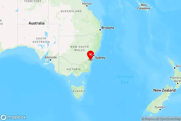
St George, Ettrema - Sassafras - Budawang, Shoalhaven, Southern Highlands and Shoalhaven, New South Wales, Australia, 2622
St George Postcode
Area Name
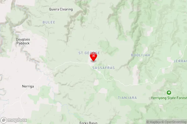
St GeorgeSt George Suburb Area Map (Polygon)

St George Introduction
St George, Southern Highlands, and Shoalhaven are picturesque regions in New South Wales, Australia, known for their natural beauty, including the Blue Mountains, the Southern Highlands, and the Shoalhaven River. They offer a range of outdoor activities, including hiking, skiing, and water sports, as well as charming towns and villages.State Name
City or Big Region
District or Regional Area
Suburb Name
St George Region Map
Country
Main Region in AU
R3Coordinates
-35.0710113,150.2289856 (latitude/longitude)St George Area Map (Street)
Longitude
150.2223806Latitude
-35.03262153St George Elevation
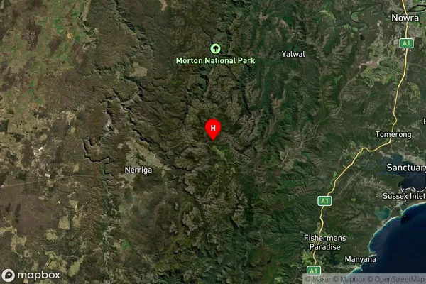
about 691.14 meters height above sea level (Altitude)St George Suburb Map (Satellite)
Distances
The distance from St George, Southern Highlands and Shoalhaven, NSW to AU Greater Capital CitiesSA1 Code 2011
11401127501SA1 Code 2016
11401127501SA2 Code
114011275SA3 Code
11401SA4 Code
114RA 2011
2RA 2016
2MMM 2015
5MMM 2019
5Charge Zone
N2LGA Region
ShoalhavenLGA Code
16950Electorate
Hume