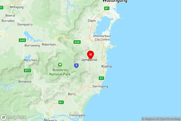
Kiama Hinterland Gerringong Suburbs & Region, Kiama Hinterland Gerringong Map & Postcodes
Kiama Hinterland Gerringong Suburbs & Region, Kiama Hinterland Gerringong Map & Postcodes in Kiama Hinterland Gerringong, Shoalhaven, Southern Highlands and Shoalhaven, NSW, AU
Kiama Hinterland Gerringong Region
Region Name
Kiama Hinterland Gerringong (NSW, AU)Kiama Hinterland Gerringong Area
222.26 square kilometers (222.26 ㎢)Postal Codes
from 2533 to 2535, and 2577 (In total, there are 4 postcodes in Kiama Hinterland Gerringong.)Kiama Hinterland Gerringong Introduction
Kiama Hinterland Gerringong, Southern Highlands and Shoalhaven, New South Wales, AU, is a locality in the Illawarra region of New South Wales, Australia. It is situated in the Shoalhaven and is about 125 km south of Sydney and 30 km north of Nowra. Kiama is known for its beautiful beaches, scenic coastline, and vibrant community. The area is popular with tourists and locals alike, with many activities to enjoy, including surfing, swimming, hiking, and fishing. The town also has a number of cafes, restaurants, and shops, as well as a hospital and a library.Australia State
City or Big Region
Greater Capital City
Rest of NSW (1RNSW)District or Regional Area
Suburb Name
Kiama Hinterland Gerringong Region Map

Kiama Hinterland Gerringong Postcodes / Zip Codes
Kiama Hinterland Gerringong Suburbs
Kiama Hinterland Gerringong full address
Kiama Hinterland Gerringong, Shoalhaven, Southern Highlands and Shoalhaven, New South Wales, NSW, Australia, SaCode: 107031140Country
Kiama Hinterland Gerringong, Shoalhaven, Southern Highlands and Shoalhaven, New South Wales, NSW, Australia, SaCode: 107031140
Kiama Hinterland Gerringong Suburbs & Region, Kiama Hinterland Gerringong Map & Postcodes has 0 areas or regions above, and there are 14 Kiama Hinterland Gerringong suburbs below. The sa2code for the Kiama Hinterland Gerringong region is 107031140. Its latitude and longitude coordinates are -34.65,150.783. Kiama Hinterland Gerringong area belongs to Australia's greater capital city Rest of NSW.
Kiama Hinterland Gerringong Suburbs & Localities
2. Rose Valley
3. Werri Beach
4. Willow Vale
5. Curramore
6. Toolijooa
7. Budderoo
8. Jamberoo
9. Jerrara
10. Saddleback Mountain
11. Broughton Village
12. Foxground
13. Gerringong
14. Barren Grounds
