Willow Vale Area, Willow Vale Postcode(2534) & Map in Willow Vale, Illawarra, NSW
Willow Vale Area, Willow Vale Postcode(2534) & Map in Willow Vale, Illawarra, NSW, AU, Postcode: 2534
Willow Vale, Kiama Hinterland - Gerringong, Kiama - Shellharbour, Illawarra, New South Wales, Australia, 2534
Willow Vale Postcode
Area Name
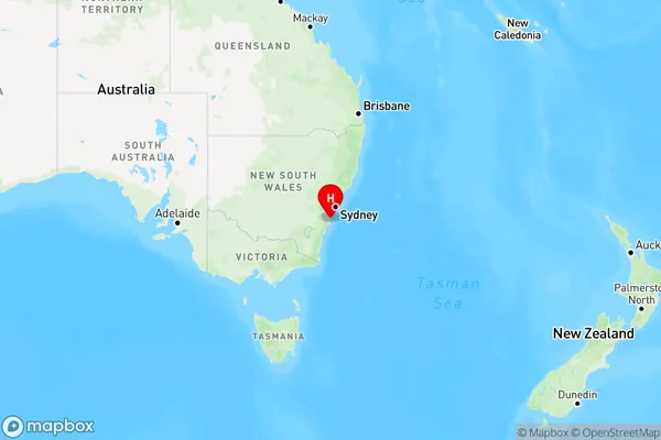
Willow ValeWillow Vale Suburb Area Map (Polygon)

Willow Vale Introduction
Willow Vale is a suburb in the Illawarra region of New South Wales, Australia. It is located 32 kilometers south of Wollongong and 86 kilometers south of Sydney. The suburb is named after the Willow Vale railway station, which was opened on 1 October 1889. Willow Vale is known for its beautiful beaches, parks, and recreational facilities, including the Willow Vale Golf Club and the Willow Vale Shopping Centre. The population of Willow Vale was 11,627 at the 2011 census.State Name
City or Big Region
District or Regional Area
Suburb Name
Willow Vale Region Map

Country
Main Region in AU
R2Coordinates
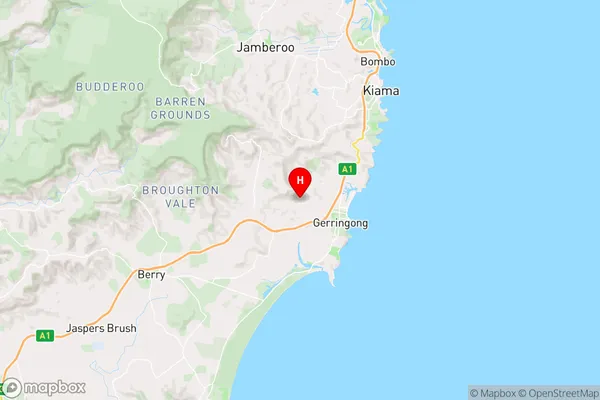
-34.733333,150.8 (latitude/longitude)Willow Vale Area Map (Street)

Longitude
150.800637Latitude
-34.739425Willow Vale Elevation
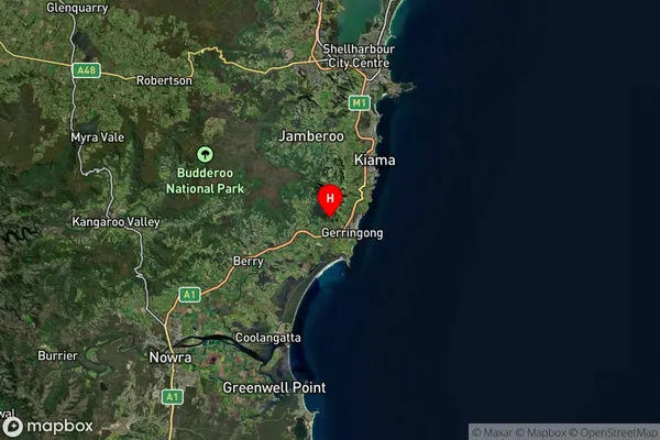
about 41.71 meters height above sea level (Altitude)Willow Vale Suburb Map (Satellite)

Distances
The distance from Willow Vale, Illawarra, NSW to AU Greater Capital CitiesSA1 Code 2011
10703114019SA1 Code 2016
10703114019SA2 Code
107031140SA3 Code
10703SA4 Code
107RA 2011
2RA 2016
2MMM 2015
4MMM 2019
5Charge Zone
N2LGA Region
KiamaLGA Code
14400Electorate
Gilmore