Illawarra Suburbs & Region, Illawarra Map & Postcodes
Illawarra Suburbs & Region, Illawarra Map & Postcodes in Illawarra, NSW, AU
Illawarra Region
Region Name
Illawarra (NSW, AU)Illawarra Area
1539 square kilometers (1,539 ㎢)Illawarra Introduction
Illawarra is a region located in New South Wales, Australia, and is renowned for its stunning natural beauty, including the iconic Blue Mountains. It is home to a diverse population and is known for its rich cultural heritage, including its indigenous communities and coal mining history. The region is also a major industrial hub, with a significant manufacturing and mining industry. Illawarra is located approximately 100 kilometers south of Sydney and is bordered by the South Coast and the Illawarra Range. It is a popular destination for tourists and outdoor enthusiasts, with many popular attractions such as the Illawarra Fly Treetop Walk, the Illawarra Coal Mine Museum, and the Kiama Blowhole.Australia State
City or Big Region
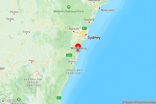
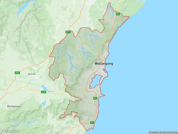
Illawarra Region Map

Illawarra Suburbs
Dapto Port Kembla
Illawarra Catchment Reserve
Kiama Shellharbour
Wollongong
Illawarra full address
Illawarra, New South Wales, NSW, Australia, SaCode: 107Country
Illawarra, New South Wales, NSW, Australia, SaCode: 107
Illawarra Suburbs & Region, Illawarra Map & Postcodes has 4 areas or regions above, and there are 0 Illawarra suburbs below. The sa4code for the Illawarra region is 107. Its latitude and longitude coordinates are -34.4711,150.872.
