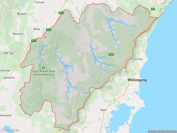
Illawarra Catchment Reserve Suburbs & Region, Illawarra Catchment Reserve Map & Postcodes
Illawarra Catchment Reserve Suburbs & Region, Illawarra Catchment Reserve Map & Postcodes in Illawarra Catchment Reserve, Illawarra, NSW, AU
Illawarra Catchment Reserve Region
Region Name
Illawarra Catchment Reserve (NSW, AU)Illawarra Catchment Reserve Area
744.34 square kilometers (744.34 ㎢)Illawarra Catchment Reserve Introduction
The Illawarra Catchment Reserve is a protected area located in the Illawarra region of New South Wales, Australia. It is situated in the Wollongong and Kiama districts and covers an area of approximately 1,200 hectares. The reserve is home to a diverse range of plant and animal species, including endangered species such as the glossy black cockatoo and the southern brown bandicoot. The reserve is also important for its cultural and historical significance, with evidence of Aboriginal occupation dating back thousands of years. The reserve is managed by the Illawarra Regional Council and provides opportunities for hiking, camping, and wildlife watching. It is a popular destination for tourists and locals alike and is known for its stunning natural beauty and rich cultural heritage.Australia State
City or Big Region
Greater Capital City
Rest of NSW (1RNSW)District or Regional Area
Illawarra Catchment Reserve Suburbs
Illawarra Catchment Reserve full address
Illawarra Catchment Reserve, Illawarra, New South Wales, NSW, Australia, SaCode: 10702Country
Illawarra Catchment Reserve, Illawarra, New South Wales, NSW, Australia, SaCode: 10702
Illawarra Catchment Reserve Suburbs & Region, Illawarra Catchment Reserve Map & Postcodes has 0 areas or regions above, and there are 0 Illawarra Catchment Reserve suburbs below. The sa3code for the Illawarra Catchment Reserve region is 10702. Illawarra Catchment Reserve area belongs to Australia's greater capital city Rest of NSW.
