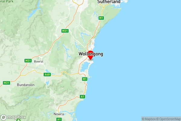
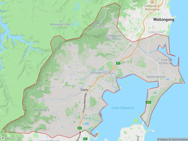
Dapto Port Kembla Suburbs & Region, Dapto Port Kembla Map & Postcodes
Dapto Port Kembla Suburbs & Region, Dapto Port Kembla Map & Postcodes in Dapto Port Kembla, Illawarra, NSW, AU
Dapto Port Kembla Region
Region Name
Dapto Port Kembla (NSW, AU)Dapto Port Kembla Area
164.02 square kilometers (164.02 ㎢)Postal Codes
2502, 2505, and 2506 (In total, there are 3 postcodes in Dapto Port Kembla.)Dapto Port Kembla Introduction
Dapto Port Kembla is a suburb of the Illawarra region in New South Wales, Australia. It is located on the Princes Highway and is situated between the cities of Wollongong and Port Kembla. The suburb has a population of around 16,000 people and is known for its industrial and port facilities. The port is the largest coal export port in Australia and is a major contributor to the region's economy. Dapto Port Kembla also has a number of parks and recreational facilities, including a golf course and a swimming pool. The suburb is located in the City of Shoalhaven local government area and is part of the Illawarra region.Australia State
City or Big Region
District or Regional Area
Dapto Port Kembla Region Map

Dapto Port Kembla Postcodes / Zip Codes
Dapto Port Kembla Suburbs
Port Kembla Industrial
Berkeley Lake Heights Cringila
Port Kembla Warrawong
Dapto Port Kembla full address
Dapto Port Kembla, Illawarra, New South Wales, NSW, Australia, SaCode: 10701Country
Dapto Port Kembla, Illawarra, New South Wales, NSW, Australia, SaCode: 10701
Dapto Port Kembla Suburbs & Region, Dapto Port Kembla Map & Postcodes has 3 areas or regions above, and there are 7 Dapto Port Kembla suburbs below. The sa3code for the Dapto Port Kembla region is 10701. Its latitude and longitude coordinates are -34.4745,150.89.
Dapto Port Kembla Suburbs & Localities
1. Lake Heights
2. Port Kembla
3. Cringila
4. Warrawong
5. Primbee
6. Berkeley
7. Kemblawarra
