Port Kembla Warrawong Suburbs & Region, Port Kembla Warrawong Map & Postcodes
Port Kembla Warrawong Suburbs & Region, Port Kembla Warrawong Map & Postcodes in Port Kembla Warrawong, Dapto Port Kembla, Illawarra, NSW, AU
Port Kembla Warrawong Region
Region Name
Port Kembla Warrawong (NSW, AU)Port Kembla Warrawong Area
6.97 square kilometers (6.97 ㎢)Postal Codes
2502, and 2505 (In total, there are 2 postcodes in Port Kembla Warrawong.)Port Kembla Warrawong Introduction
Port Kembla Warrawong is a locality in the Illawarra region of New South Wales, Australia. It is located in the Wollongong City Council area and is part of the Illawarra Shoalhaven region. The population of Port Kembla Warrawong at the 2016 census was 1,953. The suburb is named after the Port Kembla steelworks and the Warrawong Creek, which flows through it. The area has a rich industrial history, with the steelworks being a major employer in the region for many years. Today, the suburb is home to a mix of residential and commercial properties, with the Port Kembla Industrial Estate being a major hub for manufacturing and logistics. The suburb also has a number of parks and recreational facilities, including the Port Kembla Warrawong Reserve and the Warrawong Golf Club.Australia State
City or Big Region
Greater Capital City
Rest of NSW (1RNSW)District or Regional Area
Suburb Name
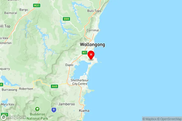
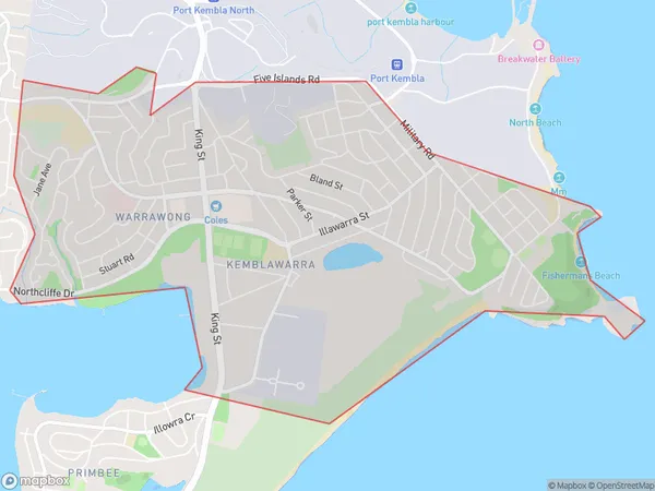
Port Kembla Warrawong Region Map

Port Kembla Warrawong Postcodes / Zip Codes
Port Kembla Warrawong Suburbs
Port Kembla Warrawong full address
Port Kembla Warrawong, Dapto Port Kembla, Illawarra, New South Wales, NSW, Australia, SaCode: 107011546Country
Port Kembla Warrawong, Dapto Port Kembla, Illawarra, New South Wales, NSW, Australia, SaCode: 107011546
Port Kembla Warrawong Suburbs & Region, Port Kembla Warrawong Map & Postcodes has 0 areas or regions above, and there are 2 Port Kembla Warrawong suburbs below. The sa2code for the Port Kembla Warrawong region is 107011546. Its latitude and longitude coordinates are -34.4844,150.887. Port Kembla Warrawong area belongs to Australia's greater capital city Rest of NSW.
Port Kembla Warrawong Suburbs & Localities
1. Warrawong
2. Kemblawarra
