Kemblawarra Area, Kemblawarra Postcode(2505) & Map in Kemblawarra, Illawarra, NSW
Kemblawarra Area, Kemblawarra Postcode(2505) & Map in Kemblawarra, Illawarra, NSW, AU, Postcode: 2505
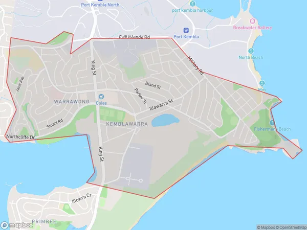
Kemblawarra, Port Kembla - Warrawong, Dapto - Port Kembla, Illawarra, New South Wales, Australia, 2505
Kemblawarra Postcode
Area Name
KemblawarraKemblawarra Suburb Area Map (Polygon)
Kemblawarra Introduction
Kemblawarra is a small town in the Illawarra region of New South Wales, Australia. It is situated in the Shoalhaven Shire and is known for its coal mining and tourism industries. The town has a population of around 3,000 people and is surrounded by beautiful natural scenery, including the Kemblawarra Range and the Illawarra Coast.State Name
City or Big Region
District or Regional Area
Suburb Name
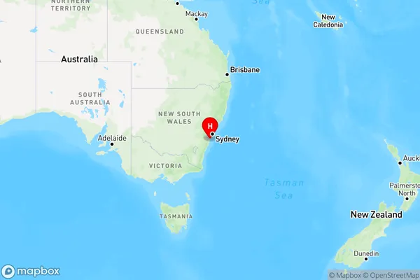
Kemblawarra Region Map
Country
Main Region in AU
R2Coordinates
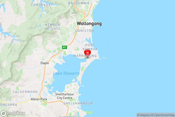
-34.4922147,150.8897367 (latitude/longitude)Kemblawarra Area Map (Street)
Longitude
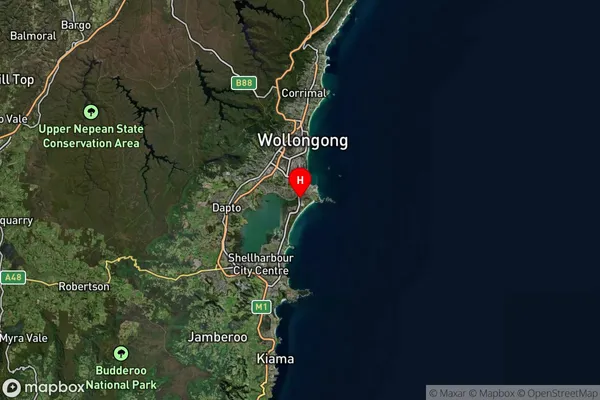
150.943899Latitude
-34.4664060Kemblawarra Suburb Map (Satellite)
Distances
The distance from Kemblawarra, Illawarra, NSW to AU Greater Capital CitiesSA1 Code 2011
10701113036SA1 Code 2016
10701154612SA2 Code
107011546SA3 Code
10701SA4 Code
107RA 2011
1RA 2016
1MMM 2015
1MMM 2019
1Charge Zone
N1LGA Region
WollongongLGA Code
18450Electorate
Cunningham