Port Kembla Area, Port Kembla Postcode(2505) & Map in Port Kembla, Illawarra, NSW
Port Kembla Area, Port Kembla Postcode(2505) & Map in Port Kembla, Illawarra, NSW, AU, Postcode: 2505
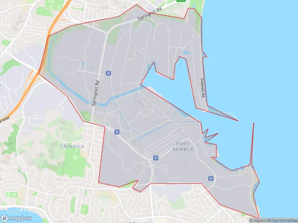
Port Kembla, Port Kembla Industrial, Dapto - Port Kembla, Illawarra, New South Wales, Australia, 2505
Port Kembla Postcode
Area Name
Port KemblaPort Kembla Suburb Area Map (Polygon)
Port Kembla Introduction
Port Kembla is a suburb of Wollongong, located in the Illawarra region of New South Wales, Australia. It is situated on the coast of the Port Kembla Bay and is known for its industrial heritage, with a steelworks and coal mines being major employers in the past. The suburb has a population of around 20,000 people and is home to several popular attractions, including the Port Kembla Lighthouse, the Illawarra Museum, and the South Coast Botanic Garden.State Name
City or Big Region
District or Regional Area
Suburb Name
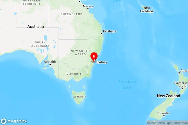
Port Kembla Region Map
Country
Main Region in AU
R2Coordinates
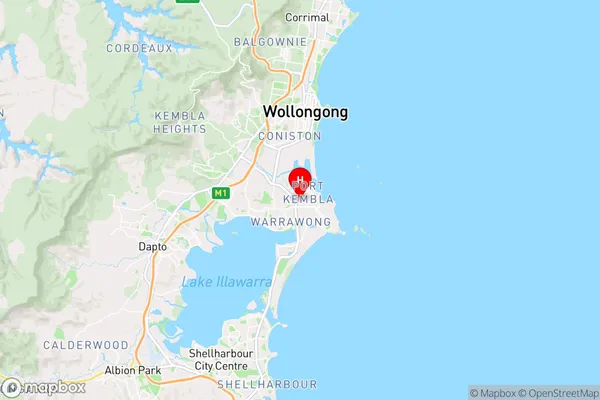
-34.4744767,150.8900145 (latitude/longitude)Port Kembla Area Map (Street)
Longitude
150.943899Latitude
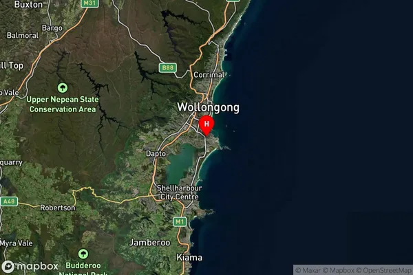
-34.4664060Port Kembla Suburb Map (Satellite)
Distances
The distance from Port Kembla, Illawarra, NSW to AU Greater Capital CitiesSA1 Code 2011
10701113301SA1 Code 2016
10701113301SA2 Code
107011133SA3 Code
10701SA4 Code
107RA 2011
1RA 2016
1MMM 2015
1MMM 2019
1Charge Zone
N1LGA Region
WollongongLGA Code
18450Electorate
Cunningham