Wollongong Suburbs & Region, Wollongong Map & Postcodes
Wollongong Suburbs & Region, Wollongong Map & Postcodes in Wollongong, Illawarra, NSW, AU
Wollongong Region
Region Name
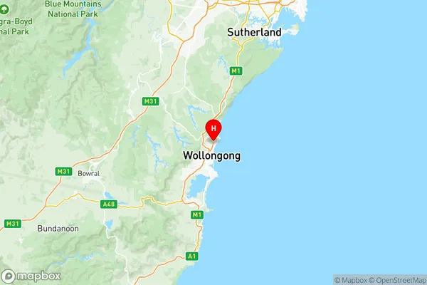
Wollongong (NSW, AU)Wollongong Area
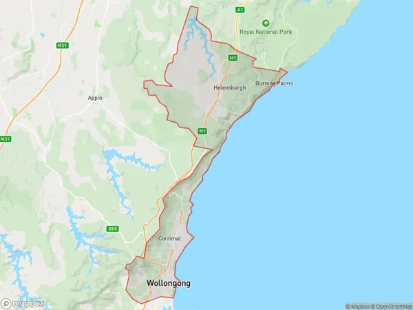
240.08 square kilometers (240.08 ㎢)Wollongong Suburb Area Map (Polygon)
Wollongong Introduction
Wollongong is a city in the Illawarra region of New South Wales, Australia, and it is situated on the coast of the Tasman Sea. It is renowned for its stunning beaches, vibrant culture, and outdoor activities. The city has a population of over 260,000 people and is home to several universities, including the University of Wollongong and the Illawarra Institute of Technology. Wollongong is also a major industrial hub, with a significant manufacturing sector and a port that handles a large amount of trade and commerce. The city is surrounded by beautiful natural scenery, including the Illawarra Escarpment and the Mount Keira Range, and is a popular destination for tourists and outdoor enthusiasts.Australia State
City or Big Region
District or Regional Area
Wollongong Region Map
Wollongong Suburbs
Unanderra Mount Kembla
Balgownie Fairy Meadow
Corrimal Tarrawanna Bellambi
Figtree Keiraville
Thirroul Austinmer Coalcliff
Woonona Bulli Russell Vale
Wollongong East
Wollongong West
Wollongong full address
Wollongong, Illawarra, New South Wales, NSW, Australia, SaCode: 10704Country
Wollongong, Illawarra, New South Wales, NSW, Australia, SaCode: 10704
Wollongong Suburbs & Region, Wollongong Map & Postcodes has 9 areas or regions above, and there are 0 Wollongong suburbs below. The sa3code for the Wollongong region is 10704. Its latitude and longitude coordinates are -34.3833,150.9.