Bulli Tops Area, Bulli Tops Postcode(2516) & Map in Bulli Tops, Illawarra, NSW
Bulli Tops Area, Bulli Tops Postcode(2516) & Map in Bulli Tops, Illawarra, NSW, AU, Postcode: 2516
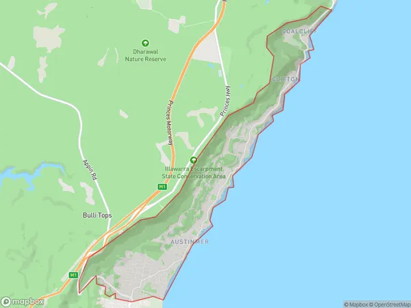
Bulli Tops, Thirroul - Austinmer - Coalcliff, Wollongong, Illawarra, New South Wales, Australia, 2516
Bulli Tops Postcode
Area Name
Bulli TopsBulli Tops Suburb Area Map (Polygon)
Bulli Tops Introduction
Bulli Tops is a suburb of the Illawarra region in New South Wales, Australia. It is situated on the southern side of the Illawarra Escarpment and is known for its scenic views, beautiful beaches, and vibrant community. The suburb has a population of around 3,000 people and is home to a number of popular attractions, including Bulli Beach, Bulli Lookout, and the Bulli Steam Railway.State Name
City or Big Region
District or Regional Area
Suburb Name
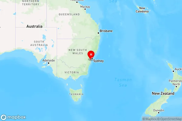
Bulli Tops Region Map
Country
Main Region in AU
R2Coordinates
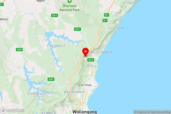
-34.3154,150.896 (latitude/longitude)Bulli Tops Area Map (Street)
Longitude
150.904835Latitude
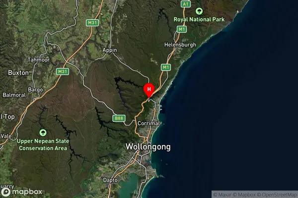
-34.332109Bulli Tops Suburb Map (Satellite)
Distances
The distance from Bulli Tops, Illawarra, NSW to AU Greater Capital CitiesSA1 Code 2011
10704114812SA1 Code 2016
10704114812SA2 Code
107041148SA3 Code
10704SA4 Code
107RA 2011
1RA 2016
1MMM 2015
1MMM 2019
1Charge Zone
N1LGA Region
WollongongLGA Code
18450Electorate
Cunningham