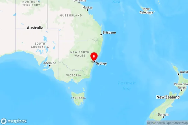
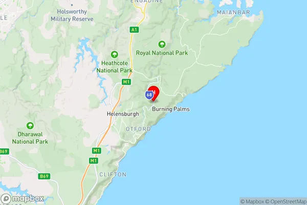
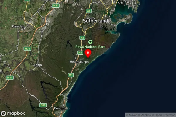
Lilyvale Area, Lilyvale Postcode(2508) & Map in Lilyvale, Illawarra, NSW
Lilyvale Area, Lilyvale Postcode(2508) & Map in Lilyvale, Illawarra, NSW, AU, Postcode: 2508
Lilyvale, Helensburgh, Wollongong, Illawarra, New South Wales, Australia, 2508
Lilyvale Postcode
Area Name
LilyvaleLilyvale Suburb Area Map (Polygon)

Lilyvale Introduction
Lilyvale is a suburb in the Illawarra region of New South Wales, Australia. It is located about 60 kilometers south of Wollongong and 12 kilometers south of Nowra. The suburb is named after the Lilyvale railway station, which was opened on the South Coast railway line in 1889. Lilyvale is known for its beautiful beaches, scenic bushwalks, and vibrant community. It is a popular destination for tourists and locals alike.State Name
City or Big Region
District or Regional Area
Suburb Name
Lilyvale Region Map

Country
Main Region in AU
R2Coordinates
-34.1782842,151.0232962 (latitude/longitude)Lilyvale Area Map (Street)

Longitude
150.969679Latitude
-34.230944Lilyvale Suburb Map (Satellite)

Distances
The distance from Lilyvale, Illawarra, NSW to AU Greater Capital CitiesSA1 Code 2011
10704114717SA1 Code 2016
10704114717SA2 Code
107041147SA3 Code
10704SA4 Code
107RA 2011
2RA 2016
2MMM 2015
2MMM 2019
2Charge Zone
N1LGA Region
Sutherland ShireLGA Code
17150Electorate
Cunningham