Russell Vale Area, Russell Vale Postcode(2517) & Map in Russell Vale, Illawarra, NSW
Russell Vale Area, Russell Vale Postcode(2517) & Map in Russell Vale, Illawarra, NSW, AU, Postcode: 2517
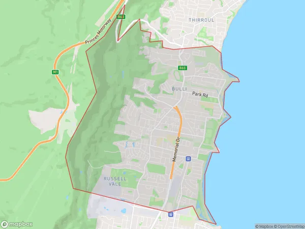
Russell Vale, Woonona - Bulli - Russell Vale, Wollongong, Illawarra, New South Wales, Australia, 2517
Russell Vale Postcode
Area Name
Russell ValeRussell Vale Suburb Area Map (Polygon)
Russell Vale Introduction
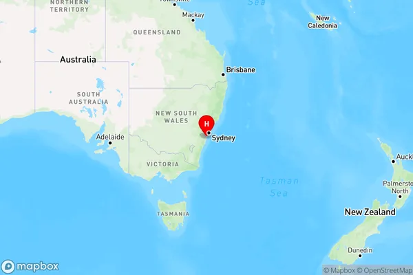
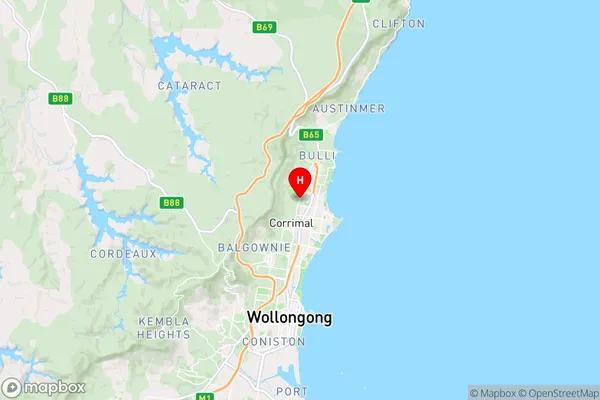
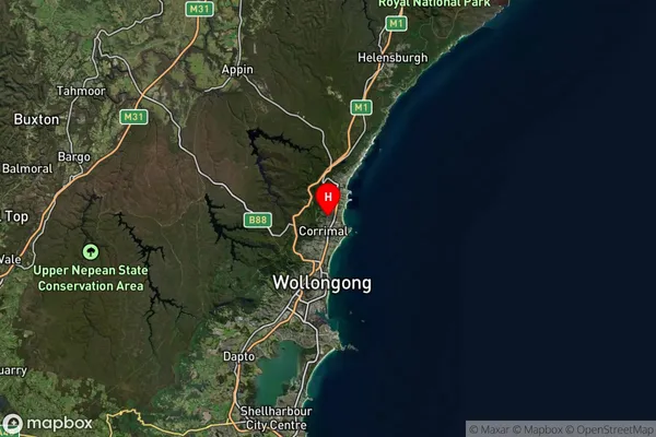
Russell Vale is a suburb in the Illawarra region of New South Wales, Australia. It is located 37 kilometers south of Wollongong and 85 kilometers north of Sydney. The suburb is named after the Russell River, which flows through it. Russell Vale has a population of around 11,000 people and is known for its scenic beaches, parks, and recreational facilities. It is also home to a number of industries, including manufacturing and logistics.State Name
City or Big Region
District or Regional Area
Suburb Name
Russell Vale Region Map
Country
Main Region in AU
R2Coordinates
-34.358,150.901 (latitude/longitude)Russell Vale Area Map (Street)
Longitude
150.891169Latitude
-34.349362Russell Vale Suburb Map (Satellite)
Distances
The distance from Russell Vale, Illawarra, NSW to AU Greater Capital CitiesSA1 Code 2011
10704115002SA1 Code 2016
10704115002SA2 Code
107041150SA3 Code
10704SA4 Code
107RA 2011
1RA 2016
1MMM 2015
1MMM 2019
1Charge Zone
N1LGA Region
WollongongLGA Code
18450Electorate
Cunningham