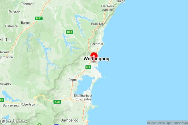
Wollongong West Suburbs & Region, Wollongong West Map & Postcodes
Wollongong West Suburbs & Region, Wollongong West Map & Postcodes in Wollongong West, Wollongong, Illawarra, NSW, AU
Wollongong West Region
Region Name
Wollongong West (NSW, AU)Wollongong West Area
5.66 square kilometers (5.66 ㎢)Postal Codes
2500 (In total, there are 1 postcodes in Wollongong West.)Wollongong West Introduction
Wollongong West is a suburb located in the Illawarra region of New South Wales, Australia. It is situated in the City of Wollongong and is known for its beautiful beaches, scenic views, and vibrant community. The suburb is home to a number of popular attractions, including the Wollongong Botanic Garden, the Illawarra Museum, and the WIN Entertainment Centre. It is also a popular destination for outdoor enthusiasts, with many walking and cycling trails nearby. Wollongong West is a relatively affluent suburb, with a median household income of $110,000. It is a diverse community, with a mix of families, young professionals, and retirees. The suburb has a strong sense of community spirit and is known for its friendly and welcoming residents.Australia State
City or Big Region
Greater Capital City
Rest of NSW (1RNSW)District or Regional Area
Suburb Name
Wollongong West Region Map

Wollongong West Postcodes / Zip Codes
Wollongong West Suburbs
Wollongong West full address
Wollongong West, Wollongong, Illawarra, New South Wales, NSW, Australia, SaCode: 107041549Country
Wollongong West, Wollongong, Illawarra, New South Wales, NSW, Australia, SaCode: 107041549
Wollongong West Suburbs & Region, Wollongong West Map & Postcodes has 0 areas or regions above, and there are 4 Wollongong West suburbs below. The sa2code for the Wollongong West region is 107041549. Its latitude and longitude coordinates are -34.4383,150.883. Wollongong West area belongs to Australia's greater capital city Rest of NSW.
Wollongong West Suburbs & Localities
1. Coniston
2. Gwynneville
3. Mangerton
4. Mount Saint Thomas
