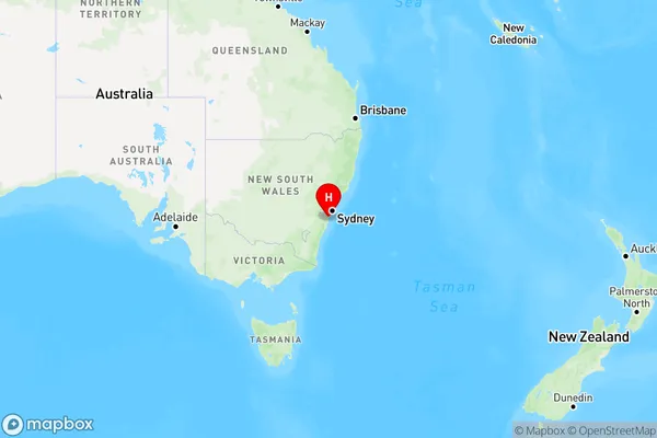
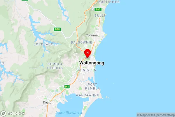
Gwynneville Area, Gwynneville Postcode(2500) & Map in Gwynneville, Illawarra, NSW
Gwynneville Area, Gwynneville Postcode(2500) & Map in Gwynneville, Illawarra, NSW, AU, Postcode: 2500
Gwynneville, Wollongong - West, Wollongong, Illawarra, New South Wales, Australia, 2500
Gwynneville Postcode
Area Name
GwynnevilleGwynneville Suburb Area Map (Polygon)

Gwynneville Introduction
Gwynneville is a suburb in the Illawarra region of New South Wales, Australia. It is located 58 kilometers south of Wollongong and 85 kilometers north of Sydney. The population of Gwynneville was 11,491 at the 2016 census. The suburb is named after John Gwynne, who was a politician and judge in the early 19th century. Gwynneville is known for its historic railway station, which is on the South Coast railway line. It also has a shopping village with a variety of stores and cafes.State Name
City or Big Region
District or Regional Area
Suburb Name
Gwynneville Region Map

Country
Main Region in AU
R2Coordinates
-34.416111,150.883889 (latitude/longitude)Gwynneville Area Map (Street)

Longitude
150.874294Latitude
-34.423171Gwynneville Elevation
about 48.99 meters height above sea level (Altitude)Gwynneville Suburb Map (Satellite)

Distances
The distance from Gwynneville, Illawarra, NSW to AU Greater Capital CitiesSA1 Code 2011
10704114916SA1 Code 2016
10704154910SA2 Code
107041549SA3 Code
10704SA4 Code
107RA 2011
1RA 2016
1MMM 2015
1MMM 2019
1Charge Zone
N1LGA Region
WollongongLGA Code
18450Electorate
Cunningham