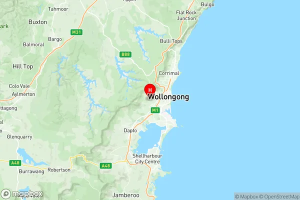
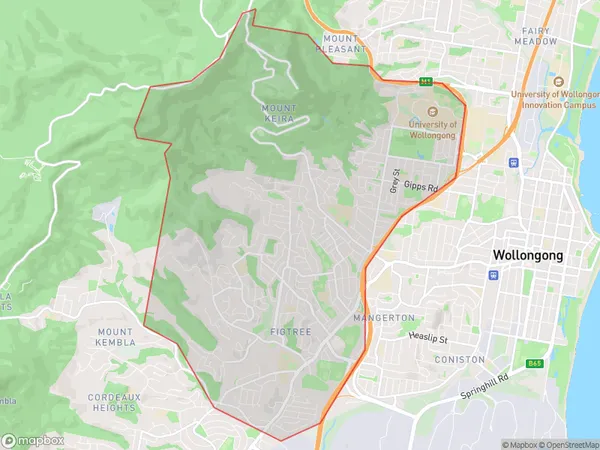
Figtree Keiraville Suburbs & Region, Figtree Keiraville Map & Postcodes
Figtree Keiraville Suburbs & Region, Figtree Keiraville Map & Postcodes in Figtree Keiraville, Wollongong, Illawarra, NSW, AU
Figtree Keiraville Region
Region Name
Figtree Keiraville (NSW, AU)Figtree Keiraville Area
18.81 square kilometers (18.81 ㎢)Postal Codes
2500, 2522, and 2525 (In total, there are 3 postcodes in Figtree Keiraville.)Figtree Keiraville Introduction
The 'Figtree Keiraville, Illawarra, New South Wales, AU' is a locality in the Wollongong City Council area of New South Wales, Australia. It is located in the Illawarra region and is named after the fig tree that grows in the area. The post office opened on 1 October 1912 and was closed on 1 March 1974. The area is primarily residential and is surrounded by natural beauty, including the Illawarra Escarpment and the Figtree Creek. It is also home to several parks and recreational facilities, including the Figtree Reserve and the Keiraville Oval.Australia State
City or Big Region
Greater Capital City
Rest of NSW (1RNSW)District or Regional Area
Suburb Name
Figtree Keiraville Region Map

Figtree Keiraville Postcodes / Zip Codes
Figtree Keiraville Suburbs
Figtree Keiraville full address
Figtree Keiraville, Wollongong, Illawarra, New South Wales, NSW, Australia, SaCode: 107041146Country
Figtree Keiraville, Wollongong, Illawarra, New South Wales, NSW, Australia, SaCode: 107041146
Figtree Keiraville Suburbs & Region, Figtree Keiraville Map & Postcodes has 0 areas or regions above, and there are 6 Figtree Keiraville suburbs below. The sa2code for the Figtree Keiraville region is 107041146. Its latitude and longitude coordinates are -34.4319,150.843. Figtree Keiraville area belongs to Australia's greater capital city Rest of NSW.
Figtree Keiraville Suburbs & Localities
1. Mount Keira
2. University Of Wollongong
3. Figtree
4. Keiraville
5. West Wollongong
6. Wollongong West
